Fraccionamiento sobre Ruta 74
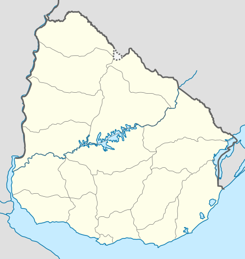
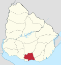
Fraccionamiento sobre Ruta 74 is a populated area composed of two fragments in the Canelones Department of southern Uruguay.
Fraccionamiento sobre Ruta 74 | |
|---|---|
Populated fragment | |
 Fraccionamiento sobre Ruta 74 Location in Uruguay | |
| Coordinates: 34°43′0″S 56°3′5″W | |
| Country | |
| Department | Canelones Department |
| Population (2011) | |
| • Total | 1,513 |
| Time zone | UTC -3 |
| Postal code | 15500 |
| Dial plan | +598 2297 XXXX |
Location
One fragment is located on the south side of Route 6, along Route 74, and lies about 2 kilometres (1.2 mi) northwest of the town of Joaquín Suárez, and the other lies also on Route 74, just southeast of the town. They are all parts of the wider metropolitan area of Montevideo.
Population
In 2011 this area had a population of 1,513.[1][2]
| Year | Population |
|---|---|
| 1985 | 828 |
| 1996 | 1,169 |
| 2004 | 1,414 |
| 2011 | 1,513 |
Source: Instituto Nacional de Estadística de Uruguay[3]
Coordinates of fragments
- Northwest fragment: 34°43′0″S 56°3′5″W
- Southeast fragment: 34°14′19″S 56°1′33″W
gollark: Actually, it's a phishing website I made.
gollark: I mean, storage *is* fairly cheap.
gollark: That's the stuff you can pay for with trial octahedra.
gollark: That's not "always free".
gollark: It says 200GB block volumes.
References
- "Censos 2011 Cuadros Canelones". INE. 2012. Archived from the original on 10 October 2012. Retrieved 25 August 2012.
- "Censos 2011 Canelones". INE. 2012. Archived from the original on 7 September 2012. Retrieved 28 August 2012.
- "1963–1996 Statistics / F" (DOC). Instituto Nacional de Estadística de Uruguay. 2004. Retrieved 29 June 2011.
This article is issued from Wikipedia. The text is licensed under Creative Commons - Attribution - Sharealike. Additional terms may apply for the media files.
