Fort Coenraadsburg
History
| Fort Coenraadsburg | |
|---|---|
| Part of Dutch Gold Coast | |
17th century view on Elmina. Fort Elmina is on the left, Fort Coenraadsburg on the right. | |
 Fort Coenraadsburg | |
| Coordinates | 5.08444°N 1.35083°W |
| Site history | |
| Built | 1652 |
| Garrison information | |
| Occupants | Netherlands (1652-1872) |
| Official name | Fort St. Jago (Fort Conraadsburg) |
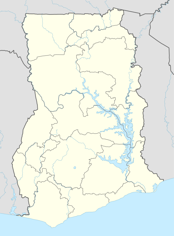
| Location | Elmina, Central Region, Ghana |
| Part of | Forts and Castles, Volta, Greater Accra, Central and Western Regions |
| Criteria | Cultural: (vi) |
| Reference | 34-005 |
| Inscription | 1979 (3rd session) |
Fort Coenraadsburg or Conraadsburg, also Fort São Tiago da Mina, is a small Portuguese chapel built in honor of Saint Jago and it is situated opposite the Elmina Castle in the Central region of Ghana[1], to protect Fort Elmina from attacks[2]. Fort Conraadsburg was built in the 1660s.[1] It was built on the site of a fortified chapel that the Portuguese had built[2] and that the Dutch had burned to the ground in the Battle of Elmina (1637). The Dutch ceded the fort to Britain in 1872, together with the entire Dutch Gold Coast.[3]. Before the fort was built, the Dutch used the hill as a gun-position to bombard the Portuguese in the year 1637. To prevent others from doing the same tactic against the Portuguese, the Dutch constructed a fortified earthwork the following year[4]
Features
In the 1660s, the then Elmina Castle Director General J. Valckenburgh changed the earthen fortification with a permanent fort made up of local sandstone and named it Coenraadsburg.[5] The fort was built mainly for military purposes so it had no commercial warehouses.[6] The fort was well-garrisoned so the Dutch used it as a prison for European convicts and also as a disciplinary institution for their officers who are disobedient to their laws.[7]
Ever since the fort was transferred from the Dutch to the British, they modified the fort for the easy use of it for civilian pursuit.[8] In recent years, the fort has been used as a prison, a hospital and a rest house.[9] The fort currently in a good condition, is used as an inn and a restaurant.[10]. The fort opening hours are 9:00am to 4:30pm.[11]
3D Model
A 3D model, of Fort Saint Jago is available here.
Gallery
_p113_KASTEEL_ST.GEORGE_EN_FORT_COENRAADSBURG_TE_ELMINA.jpg) Fort Coenraadsburg (published 1861)
Fort Coenraadsburg (published 1861) View of Coenraadsburg from Elmina
 Fort Coenraadsburg
References
- "Ghana Museums & Monuments Board". www.ghanamuseums.org. Retrieved 2019-10-19.
- Transactions of the Historical Society of Ghana. The Society. 1959. p. 61.
- Doortmont; Smit, Jinna (2007-09-21). Sources for the Mutual History of Ghana and the Netherlands: An annotated guide to the Dutch archives relating to Ghana and West Africa in the Nationaal Archief 1593-1960. BRILL. p. 246. ISBN 9789047421894.
- "Castles.nl - Fort St. Jago". www.castles.nl. Retrieved 2019-10-19.
- "Castles.nl - Fort St. Jago". www.castles.nl. Retrieved 2019-10-19.
- "Ghana Museums & Monuments Board". www.ghanamuseums.org. Retrieved 2019-10-19.
- "Ghana Museums & Monuments Board". www.ghanamuseums.org. Retrieved 2019-10-19.
- "Castles.nl - Fort St. Jago". www.castles.nl. Retrieved 2019-10-19.
- "Castles.nl - Fort St. Jago". www.castles.nl. Retrieved 2019-10-19.
- "Ghana Museums & Monuments Board". www.ghanamuseums.org. Retrieved 2019-10-19.
- "Ghana Museums & Monuments Board". www.ghanamuseums.org. Retrieved 2019-10-19.