Fort Apache, Arizona
Fort Apache (Western Apache: Tłʼog Hagai) is an unincorporated community in Navajo County, Arizona, United States. Fort Apache is on the Fort Apache Indian Reservation 2 miles (3.2 km) east of Canyon Day. Fort Apache has a post office with ZIP code 85926.[4]
Fort Apache, Arizona | |
|---|---|
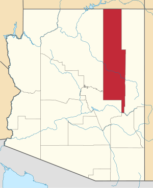
 Location of Fort Apache in Navajo County, Arizona. | |
 Fort Apache, Arizona Location of Fort Apache in Navajo County, Arizona.  Fort Apache, Arizona Fort Apache, Arizona (the United States) | |
| Coordinates: 33°47′26″N 109°59′12″W | |
| Country | United States |
| State | Arizona |
| County | Navajo |
| Area | |
| • Total | 1.15 sq mi (2.98 km2) |
| • Land | 1.14 sq mi (2.95 km2) |
| • Water | 0.01 sq mi (0.04 km2) |
| Elevation | 5,056 ft (1,541 m) |
| Population (2010) | |
| • Total | 143 |
| • Estimate (2016)[2] | N/A |
| Time zone | UTC-7 (Mountain (MST)) |
| ZIP code | 85926 |
| Area code(s) | 928 |
| GNIS feature ID | 4740[3] |
Demographics
| Historical population | |||
|---|---|---|---|
| Census | Pop. | %± | |
| 2010 | 143 | — | |
| U.S. Decennial Census[5] | |||
As of the census[6] of 2010, there were 143 people, 46 households, and 36 families residing in Fort Apache.
Climate
This region has warm (but not hot) and dry summers, with no average monthly temperatures above 71.6 °F (22.0 °C). According to the Köppen Climate Classification system, Fort Apache has a warm-summer Mediterranean climate, abbreviated "Csb" on climate maps.[7]
Transportation
The White Mountain Apache Tribe operates the Fort Apache Connection Transit, which provides local bus service.[8]
gollark: PostmarketOS is apparently slowly improving, but it doesn't really seem quite ready for use on most phones yet, what with no data/calls on most stuff.
gollark: And the system image is read-only and monolithic. So stupid.
gollark: Plus each device needs its own special weird custom build, and you need something like 40GB of files and an insane build process to make system images.
gollark: Well, I sort of can, using some iptables hackery, but that seems fragile and prone to breaking.
gollark: Even with *root access*, I can't apparently globally set DNS configuration persistently across boots.
References
- "2016 U.S. Gazetteer Files". United States Census Bureau. Retrieved Jul 18, 2017.
- "Population and Housing Unit Estimates". Retrieved June 9, 2017.
- "US Board on Geographic Names". United States Geological Survey. 2007-10-25. Retrieved 2008-01-31.
- ZIP Code Lookup
- "Census of Population and Housing". Census.gov. Retrieved June 4, 2016.
- "American FactFinder". United States Census Bureau. Archived from the original on 2020-02-13. Retrieved 2018-10-10.
- Climate Summary for Fort Apache, Arizona
- "Tribal Transportation". WMAT DOT. Retrieved 2020-02-03.
| Authority control |
|
|---|
This article is issued from Wikipedia. The text is licensed under Creative Commons - Attribution - Sharealike. Additional terms may apply for the media files.