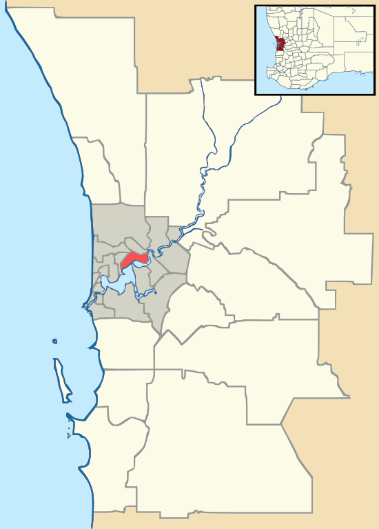
Embleton, Western Australia
Embleton is an northeastern suburb of Perth, the capital city of Western Australia, and is located 7 kilometres (4.3496 mi) northeast of Perth's central business district (CBD) between the suburbs of Morley and Bayswater. Its local government area is the City of Bayswater.
| Embleton Perth, Western Australia | |||||||||||||||
|---|---|---|---|---|---|---|---|---|---|---|---|---|---|---|---|
 Embleton | |||||||||||||||
| Coordinates | 31.904°S 115.910°E | ||||||||||||||
| Population | 2,434 (2006 census)[1] | ||||||||||||||
| • Density | 1,430/km2 (3,710/sq mi) | ||||||||||||||
| Postcode(s) | 6062 | ||||||||||||||
| Area | 1.7 km2 (0.7 sq mi) | ||||||||||||||
| Location | 7 km (4 mi) NE of Perth City | ||||||||||||||
| LGA(s) | City of Bayswater | ||||||||||||||
| State electorate(s) | |||||||||||||||
| Federal Division(s) | Perth | ||||||||||||||
| |||||||||||||||
History
The area developed during the early 20th century as a rural district on the outskirts of Perth, characterised by five-acre lots with a number of self-built houses. The name Embleton honours an early settler, George Embleton, who arrived in 1829 as a servant of Dr John Watley, who had settled in the Bayswater district.[2]
Geography
Embleton is bounded by Broun Avenue (the continuation of Beaufort Street) to the west and north and Beechboro Road to the east.[3]
Facilities
The suburb contains a primary school, water leisure centre and a golf course. Wotton Reserve, which includes a skate park and a soccer pitch, is located in the suburb's northeast. John Forrest College and Hillcrest Primary School are just beyond the suburb's southwestern boundary.[3]
References
- Australian Bureau of Statistics (25 October 2007). "Embleton (State Suburb)". 2006 Census QuickStats. Retrieved 5 October 2008.
- Western Australian Land Information Authority. "History of metropolitan suburb names – E". Retrieved 3 June 2007.
- Department of Land Information. StreetSmart Perth Street Directory (54th ed.). West Australian Newspapers Ltd. pp. Maps 314, 344. ISBN 978-0-909439-67-5.