East Farndon
East Farndon is a small linear village and civil parish about one mile south of Market Harborough in the Daventry district of Northamptonshire, England. The village is close to the border with Leicestershire, and has a Leicestershire post code and telephone dialling code. At the time of the 2001 census, the parish's population was 258 people,[1] increasing to 307 at the 2011 census.[2]
| East Farndon | |
|---|---|
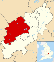
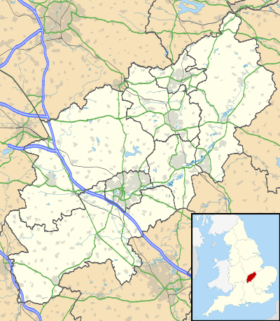 East Farndon Location within Northamptonshire | |
| Population | 307 (2011) |
| OS grid reference | SP7185 |
| District |
|
| Shire county | |
| Region | |
| Country | England |
| Sovereign state | United Kingdom |
| Post town | Market Harborough |
| Postcode district | LE16 |
| Dialling code | 01858 |
| Police | Northamptonshire |
| Fire | Northamptonshire |
| Ambulance | East Midlands |
| UK Parliament | |
The village is mentioned in the Domesday Book of 1086. In a field on the west side of the parish is the Judith Stone. This is a glacial erratic, brought from probably hundreds of miles away during an ice age. It is thought to take its name from the Countess Judith, niece of William the Conqueror. She is recorded in the Domesday Book as holding land in the parish, so perhaps the stone marked a boundary of some kind.
The church stands at the top of a hill and the village street runs down the hill quite steeply from there towards the town of Market Harborough. The church dates mainly from the 13th and 14th centuries and has a fine tower which can be seen for some miles around.
King Charles's army came through the village and occupied the ridge to the south of the church before its defeat at the Battle of Naseby in 1645.
Notable buildings
The Historic England website contains details of a total of six listed buildings in the parish of East Farndon, all of which are Grade II apart from St John the Baptist's Church, which is Grade I.[3] They include:
- St John the Baptist's Church[4]
- East Farndon Hall, Back Road]][5]
- Home Farmhouse, Back Road[6]
- Kiln Yard, Marston Lane[7]
- The Manor House, Back Road[8]
References
- Office for National Statistics: East Farndon CP: Parish headcounts.
- "Civil Parish population 2011". Neighbourhood Statistics. Office for National Statistics. Retrieved 2 July 2016.
- "Historic England – The List". Retrieved 5 October 2015.
- Historic England. "Church of St John the Baptist, East Farndon (1054010)". National Heritage List for England. Retrieved 5 October 2015.
- Historic England. "East Farndon Hall (1356903)". National Heritage List for England. Retrieved 5 October 2015.
- Historic England. "Home Farmhouse (1054028)". National Heritage List for England. Retrieved 5 October 2015.
- Historic England. "Kiln Yard (1246868)". National Heritage List for England. Retrieved 5 October 2015.
- Historic England. "The Manor House (1067039)". National Heritage List for England. Retrieved 5 October 2015.
External links
| Wikimedia Commons has media related to East Farndon. |
- Village website
- Map sources for East Farndon