Druminargal, County Armagh
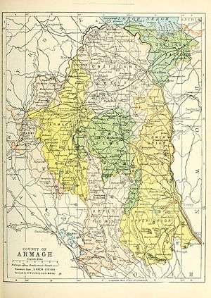
Druminargal (from Irish: Druim argain, meaning "Ridge of the Plunder")[1] is a townland of 389 acres in County Armagh, Northern Ireland. It is situated in the civil parish of Ballymore and the historic barony of Orior Lower, near Poyntzpass.[2]
| Druminargal | |
|---|---|
| County | |
| Country | Northern Ireland |
| Sovereign state | United Kingdom |
| Postcode district | BT |
| Dialling code | 028 |
People
- Rear Admiral Charles Davis Lucas (1834-1914), from Druminargal House, was a Royal Navy officer and recipient of the Victoria Cross.
gollark: ^
gollark: Madness.
gollark: And events.
gollark: I made terminal redirect over skynet, though it is unreliable and just directly proxies term calls.
gollark: Which overrides print, that is.
See also
References
- "Druminargal". Place Names NI. Retrieved 14 May 2015.
- "Druminargal". IreAtlas Townlands Database. Retrieved 14 May 2015.
This article is issued from Wikipedia. The text is licensed under Creative Commons - Attribution - Sharealike. Additional terms may apply for the media files.