Derryhale
Derryhale (from Irish: Doire Chaol, meaning "narrow oakwood")[1] is a small village and townland (of 834 acres) in County Armagh, Northern Ireland. It lies between Portadown, Richhill and Tandragee. It is situated in the civil parish of Kilmore and the historic barony of Oneilland West.[2] It had a population of 360 people (129 households) in the 2011 Census.[3] (2001 Census: 246 people)
.JPG)
Some of the Derryhale hoard in the Ulster Museum
Derryhale
| |
|---|---|
 Boyd's cottage, Derryhale, in 2007 | |
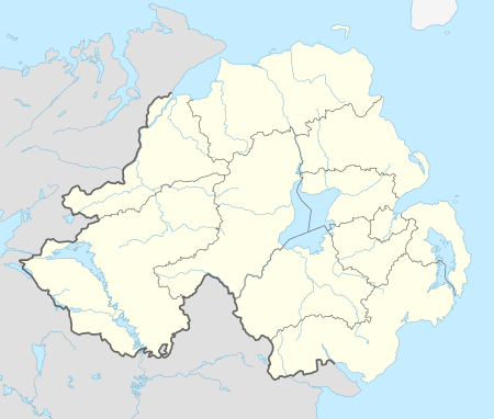 Derryhale Location within Northern Ireland | |
| County | |
| Country | Northern Ireland |
| Sovereign state | United Kingdom |
| Postcode district | BT62 |
| Dialling code | 028 |
Archaeology
A Bronze Age hoard was found at Derryhale and included a star-shaped faience bead, knives with ridged tangs and pins.[4]
Education
- Derryhale Primary School
gollark: Have a non-handheld laser and a handheld remote then.
gollark: That might be better suited for a website or something.
gollark: C4's Diodes, 10/04/2020 CE:> Introduce punishments such as temp muting for whoever shitposts in <#482370338324348932> C4's Diodes, 13/04/2020 CE:> <:sovietthonk:698992415469600899>
gollark: Maybe it should only involve a ban from the counting channel.
gollark: I suppose you could do logarithm of the difference too. Or possibly some kind of by-digit difference metric. Or Levenshtein distance.
References
- "Derryhale". Place Names NI. Retrieved 7 May 2015.
- "Derryhale". IreAtlas Townlands Database. Retrieved 7 May 2015.
- "Derryhale". Census 2011 Results. NI Statistics and Research Agency. Retrieved 22 April 2015.
- Flanagan, L (1992). A Dictionary of Irish Archaeology. Dublin: Gill and Macmillan. pp. 32, 135, 174.
| Wikimedia Commons has media related to Derryhale. |
External links
This article is issued from Wikipedia. The text is licensed under Creative Commons - Attribution - Sharealike. Additional terms may apply for the media files.