Dosolo
Dosolo (Casalasco-Viadanese: Dözul) is a comune (municipality) in the Province of Mantua in the Italian region Lombardy, located about 130 kilometres (81 mi) southeast of Milan and about 25 kilometres (16 mi) southwest of Mantua. As of 31 December 2004, it had a population of 3,265 and an area of 26.0 square kilometres (10.0 sq mi).[3]
Dosolo Dözul (Emilian) | |
|---|---|
| Comune di Dosolo | |
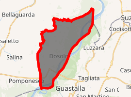
Location of Dosolo 
| |
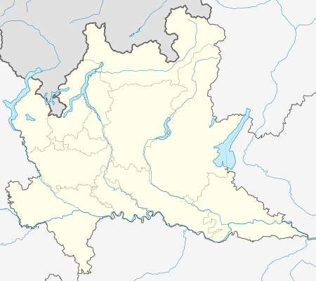
 Dosolo Location of Dosolo in Italy  Dosolo Dosolo (Lombardy) | |
| Coordinates: 44°57′N 10°38′E | |
| Country | Italy |
| Region | Lombardy |
| Province | Province of Mantua (MN) |
| Frazioni | Correggioverde, Villastrada |
| Area | |
| • Total | 26.0 km2 (10.0 sq mi) |
| Elevation | 25 m (82 ft) |
| Population (Dec. 2004)[2] | |
| • Total | 3,265 |
| • Density | 130/km2 (330/sq mi) |
| Time zone | UTC+1 (CET) |
| • Summer (DST) | UTC+2 (CEST) |
| Postal code | 46030 |
| Dialing code | 0375 |
The municipality of Dosolo contains the frazioni (subdivisions, mainly villages and hamlets) Correggioverde and Villastrada.
Dosolo borders the following municipalities: Gualtieri, Guastalla, Luzzara, Pomponesco, Suzzara, Viadana.
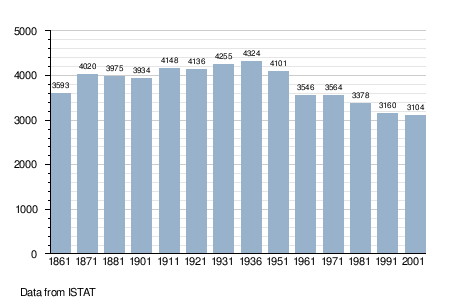
Demographic evolution

gollark: This way requires user intervention so that we know the user really wants to uninstall it.
gollark: Evil programs could use it to get around the PCSC.
gollark: Not really.
gollark: I could probably detect exploit-looking things using the PCSC functionality, which already sends code samples to me.
gollark: `os.queueEvent("char", "y")`
References
- "Superficie di Comuni Province e Regioni italiane al 9 ottobre 2011". Istat. Retrieved 16 March 2019.
- "Popolazione Residente al 1° Gennaio 2018". Istat. Retrieved 16 March 2019.
- All demographics and other statistics: Istituto Nazionale di Statistica (Istat).
This article is issued from Wikipedia. The text is licensed under Creative Commons - Attribution - Sharealike. Additional terms may apply for the media files.