Dhalai River
The Dhalai River (also known as Dhala River) a trans-boundary river in India and Bangladesh. It rises in the mountains of the Indian state of Tripura. It enters Kulaura Upazila of Maulvi Bazar District of Bangladesh. Later it joins Manu River in Rajnagar Upazila.[1][2] The co-ordinates of Dhalai River at Ambassa are 23.55'128'' N and 91.51'204'' E in degrees minutesseconds(DMS). It originate from Atharamura Hill and is 117 kilometres (73 mi) long. Some of the popular riverside township of Dhalai River are Ambassa town, Baralutma and Kamalpur town.
Created By SURAJ SINHA
| Dhalai River | |
|---|---|
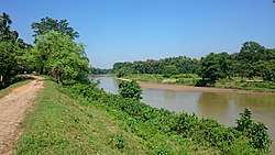 Dhalai River near Kamalpur Tripura | |
 | |
| Location | |
| Country | India, Bangladesh |
| State | Tripura |
| Ambassa Sub Division | |
| Kamalpur Sub Division | |
| City | Kamalpur, tripura |
| Physical characteristics | |
| Discharge | |
| • location | Rajnagar Upazila. |
SURAJ SINHA
Gallery
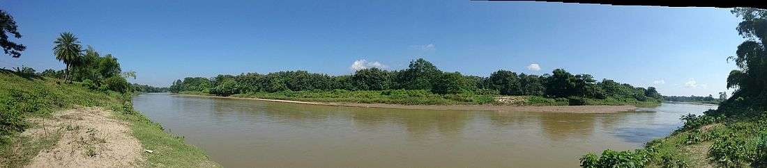
Dhalai River Panoramio
Dhalai River near Kamalpur
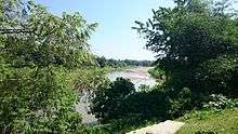
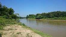
Dhalai River behind trees
gollark: No offense, but WHO is going to pay you minimum wage for anything ever?
gollark: Cold bee entities.
gollark: Imagine cryoapioforms rotating at a rate of 0.223 radians/second.
gollark: And approximately thinks webcrawlers are deep magic of some form which will find anything ever?
gollark: I mean, best guess he wants to find seeeeeeeeecret darknet websites or something?
See also
- List of rivers of India
- List of rivers in Bangladesh
References
- Murshed, Md Mahbub (2012). "Dhala River". In Islam, Sirajul; Jamal, Ahmed A. (eds.). Banglapedia: National Encyclopedia of Bangladesh (Second ed.). Asiatic Society of Bangladesh.
- "Rivers of Tripura". Tripura State Pollution Control Board. Retrieved 19 November 2012.
This article is issued from Wikipedia. The text is licensed under Creative Commons - Attribution - Sharealike. Additional terms may apply for the media files.