Deir Aames
Deir Aames (Arabic: دير عامس) is a municipality in Southern Lebanon, located in Tyre District, Governorate of South Lebanon.
Deir Aames دير عامس | |
|---|---|
Municipality | |
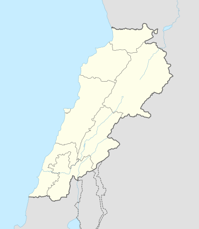 Deir Aames Location within Lebanon | |
| Coordinates: 33°12′03″N 35°20′10″E | |
| Grid position | 181/289 PAL |
| Country | |
| Governorate | South Lebanon Governorate |
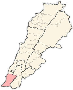
| District | Tyre District |
| Highest elevation | 400 m (1,300 ft) |
| Time zone | UTC+2 (EET) |
| • Summer (DST) | UTC+3 (EEST) |
| Dialing code | +9617 |
Name
According to E. H. Palmer, the name means "the convent of Amis."[1]
History
In the early 1860s Ernest Renan noted: "'At Deir Amis there is a large basin of great stones, and a portion of wall which seems of Crusading times. At the church there is a drawing like the stone of Aitit. As the stone of Deir Amis is certainly Christian, so must also be that of Aitit."[2]
In 1875 Victor Guérin found the village to be inhabited by Metuali families.[3] He further noted: "numerous ruined houses, a fragment of a column in the interior of a small mosque, cut stones scattered over the ground, cisterns cut in the rock, a tank partly built and partly rock-cut. On an ancient lintel is carved a double cross in a circle."[4]
In 1881, the PEF's Survey of Western Palestine (SWP) described it: "A village, built of stone, situated on a ridge, with olives and arable land around, containing about 100 Metawileh; water from cisterns."[5]
References
Bibliography
- Conder, C.R.; Kitchener, H.H. (1881). The Survey of Western Palestine: Memoirs of the Topography, Orography, Hydrography, and Archaeology. 1. London: Committee of the Palestine Exploration Fund.
- Guérin, V. (1880). Description Géographique Historique et Archéologique de la Palestine (in French). 3: Galilee, pt. 2. Paris: L'Imprimerie Nationale.
- Palmer, E.H. (1881). The Survey of Western Palestine: Arabic and English Name Lists Collected During the Survey by Lieutenants Conder and Kitchener, R. E. Transliterated and Explained by E.H. Palmer. Committee of the Palestine Exploration Fund.
- Renan, E. (1864). Mission de Phénicie (in French). Paris: Imprimerie impériale.
External links
- Deir Aames, Localiban
- Survey of Western Palestine, Map 2: IAA, Wikimedia commons
Capital: Tyre | ||
| Towns and villages |
|  |
| Palestinian refugee camps | ||
| Other | ||