Deighton, York
Deighton is a village and civil parish in the unitary authority of the City of York, North Yorkshire, England.[2][3] The population of the civil parish as of the 2011 census was 291.[1] It lies on the A19 about five miles south of York. According to the 2001 census the parish had a population of 308. Prior to 1996 it had been part of the Selby district. It was historically part of the East Riding of Yorkshire until 1974.
| Deighton | |
|---|---|
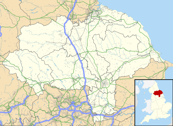 Deighton Location within North Yorkshire | |
| Population | 291 (2011 census)[1] |
| OS grid reference | SE628441 |
| Civil parish |
|
| Unitary authority |
|
| Ceremonial county | |
| Region | |
| Country | England |
| Sovereign state | United Kingdom |
| Post town | YORK |
| Postcode district | YO19 |
| Police | North Yorkshire |
| Fire | North Yorkshire |
| Ambulance | Yorkshire |
The parish also includes most of the hamlet of Crockey Hill.

Piles of harvested sugar beet at Swan Farm by Deighton
The name Deighton comes from Old English and means farmstead surrounded by a ditch.[4]
Governance
The parish is currently part of Wheldrake Ward in the City of York. As of 2019 it is represented by Cllr Christian Vassie from the local Liberal Democrats.
gollark: The CLOUD™ backend is very WIP because the canvas renderer in the frontend relies on some not actually supported browser APIs right now.
gollark: Also, the API services can be rewritten in Go to make it even worse.
gollark: PotatOS will offload half its operations to a Node.js backend server.
gollark: Compressed with the proprietary Potatogzip™ algorithm.
gollark: I'll use Lua *bytecode*!
References
- UK Census (2011). "Local Area Report – Deighton Parish (E04000598)". Nomis. Office for National Statistics. Retrieved 30 November 2019.
- Ordnance Survey: Landranger map sheet 105 York & Selby (Map). Ordnance Survey. 2014. ISBN 9780319229453.
- "Ordnance Survey: 1:50,000 Scale Gazetteer" (csv (download)). www.ordnancesurvey.co.uk. Ordnance Survey. 1 January 2016. Retrieved 18 February 2016.
- Mills, A.D. (2011) [first published 1991]. A Dictionary of British Place Names (First edition revised 2011 ed.). Oxford: Oxford University Press. p. 148. ISBN 9780199609086.
This article is issued from Wikipedia. The text is licensed under Creative Commons - Attribution - Sharealike. Additional terms may apply for the media files.