Corning Municipal Airport (Iowa)
Corning Municipal Airport (ICAO: KCRZ, FAA LID: CRZ) is a city-owned public-use airport located one nautical mile (2 km) west of the central business district of Corning, a city in Adams County, Iowa, United States.[1]
Corning Municipal Airport | |||||||||||
|---|---|---|---|---|---|---|---|---|---|---|---|
| Summary | |||||||||||
| Airport type | Public | ||||||||||
| Owner | City of Corning | ||||||||||
| Serves | Corning, Iowa | ||||||||||
| Elevation AMSL | 1,274 ft / 388 m | ||||||||||
| Coordinates | 40°59′39″N 094°45′18″W | ||||||||||
| Map | |||||||||||
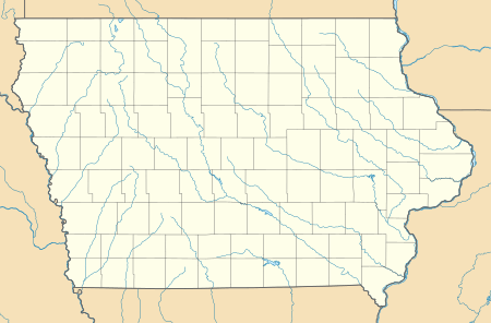 CRZ Location of airport in Iowa/United States  CRZ CRZ (the United States) | |||||||||||
| Runways | |||||||||||
| |||||||||||
| Statistics (2010) | |||||||||||
| |||||||||||
Although many U.S. airports use the same three-letter location identifier for the FAA and IATA, this airport is assigned CRZ by the FAA[1] but has no designation from the IATA[2] (which assigned CRZ to Turkmenabat Airport in Turkmenistan).[3][4]
Facilities and aircraft
Corning Municipal Airport covers an area of 56 acres (23 ha) at an elevation of 1,274 feet (388 m) above mean sea level. It has one runway designated 18/36 with a concrete surface measuring 2,684 by 50 feet (818 x 15 m).[1]
For the 12-month period ending June 22, 2010, the airport had 2,000 general aviation aircraft operations, an average of 166 per month. At that time there were seven single-engine aircraft based at this airport.[1]
References
- FAA Airport Master Record for CRZ (Form 5010 PDF). Federal Aviation Administration. Effective November 15, 2012.
- "Corning Municipal Airport (IATA: none, ICAO: KCRZ, FAA: CRZ)". Great Circle Mapper. Retrieved July 22, 2013.
- "IATA Airport Code Search (CRZ: Turkmenabat)". International Air Transport Association. Retrieved July 22, 2013.
- "Chardzhou Airport, Turkmenistan (IATA: CRZ, ICAO: UTAV)". Aviation Safety Network. Retrieved July 22, 2013.
External links
- Corning Municipal (CRZ) at Iowa DOT airport directory
- Aerial image as of July 1995 from USGS The National Map
- FAA Terminal Procedures for CRZ, effective August 13, 2020
- Resources for this airport:
- FAA airport information for CRZ
- AirNav airport information for KCRZ
- FlightAware airport information and live flight tracker
- SkyVector aeronautical chart for KCRZ