Ames Municipal Airport
Ames Municipal Airport (IATA: AMW, ICAO: KAMW, FAA LID: AMW) is a city-owned public-use airport located two miles (3 km) southeast of the central business district of Ames, a city in Story County, Iowa, United States.[1]
Ames Municipal Airport | |||||||||||||||
|---|---|---|---|---|---|---|---|---|---|---|---|---|---|---|---|
| Summary | |||||||||||||||
| Airport type | Public | ||||||||||||||
| Owner | City of Ames | ||||||||||||||
| Serves | Ames, Iowa | ||||||||||||||
| Location | 2 miles SE | ||||||||||||||
| Elevation AMSL | 956 ft / 291 m | ||||||||||||||
| Coordinates | 41°59′31″N 93°37′18″W | ||||||||||||||
| Map | |||||||||||||||
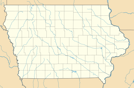
 AMW Location of airport in Iowa / United States  AMW AMW (the United States) | |||||||||||||||
| Runways | |||||||||||||||
| |||||||||||||||
| Statistics | |||||||||||||||
| |||||||||||||||
Facilities and aircraft
Ames Municipal Airport covers an area of 700 acres (280 ha) which contains an asphalt paved runway 1/19 measuring 5,701 by 100 ft (1,738 by 30 m) and a concrete runway 13/31 measuring 3,491 by 75 ft (1,064 by 23 m).[1]
For the 12-month period ending September 30, 2013, the airport had 33,751 aircraft operations: 94% general aviation, 5% air taxi and 1% military. In January 2017, there were 86 aircraft based at the airport: 61 single-engine, 7 multi-engine, 2 jet, 13 glider and 3 ultralight.[1]
According to NTSB records, the airport has had no fatal accidents since 1962 (the earliest year which can be searched in their database).
References
- FAA Airport Master Record for AMW (Form 5010 PDF), effective Jan 5, 2017.
External links
- Resources for this airport:
- FAA airport information for AMW
- AirNav airport information for KAMW
- ASN accident history for AMW
- FlightAware airport information and live flight tracker
- NOAA/NWS weather observations: current, past three days
- SkyVector aeronautical chart, Terminal Procedures