Northeast Iowa Regional Airport
Northeast Iowa Regional Airport (IATA: CCY, ICAO: KCCY, FAA LID: CCY) is a public airport located three miles (5 km) east of the central business district of Charles City, in Floyd County, Iowa, United States. It is owned by the North Cedar Aviation Authority and was formerly known as Charles City Municipal Airport.[1]
Northeast Iowa Regional Airport | |||||||||||||||||||
|---|---|---|---|---|---|---|---|---|---|---|---|---|---|---|---|---|---|---|---|
| Summary | |||||||||||||||||||
| Airport type | Public | ||||||||||||||||||
| Owner | North Cedar Aviation Authority | ||||||||||||||||||
| Serves | Charles City, Iowa | ||||||||||||||||||
| Elevation AMSL | 1,125 ft / 343 m | ||||||||||||||||||
| Coordinates | 43°04′21″N 092°36′39″W | ||||||||||||||||||
| Map | |||||||||||||||||||
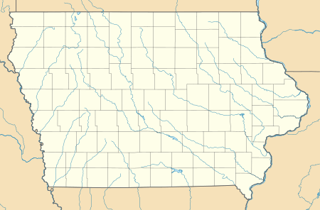 CCY Location of airport in Iowa/United States  CCY CCY (the United States) | |||||||||||||||||||
| Runways | |||||||||||||||||||
| |||||||||||||||||||
| Statistics (2007) | |||||||||||||||||||
| |||||||||||||||||||
Facilities and aircraft
Northeast Iowa Regional Airport covers an area of 200 acres (81 ha) which contains one concrete paved runway: 12/30 measuring 4,001 x 75 ft (1,220 x 23 m). It also has two turf runways: 4/22 measuring 2,536 x 160 ft (773 x 49 m) and 17/35 measuring 1,780 x 170 ft (543 x 52 m).[1]
For the 12-month period ending August 14, 2007, the airport had 5,250 aircraft operations, an average of 14 per day: 87% general aviation and 13% air taxi. At that time there were 24 aircraft based at this airport: 88% single-engine and 13% multi-engine.[1]
References
- FAA Airport Master Record for CCY (Form 5010 PDF), effective 2008-04-10
External links
- FAA Terminal Procedures for CCY, effective August 13, 2020
- Resources for this airport:
- FAA airport information for CCY
- AirNav airport information for KCCY
- ASN accident history for CCY
- FlightAware airport information and live flight tracker
- NOAA/NWS weather observations: current, past three days
- SkyVector aeronautical chart, Terminal Procedures