Collins, Ohio
Collins is a census-designated place (CDP) in central Townsend Township, Huron County, Ohio, United States.[3] As of the 2010 census the population of the CDP was 631.[1] The CDP includes the unincorporated communities of Collins and East Townsend. Collins has a post office, with the ZIP code of 44826. Joshua Hudson is currently serving as mayor.[4]
Collins, Ohio | |
|---|---|
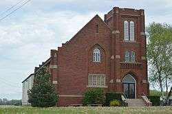 Collins United Methodist Church | |
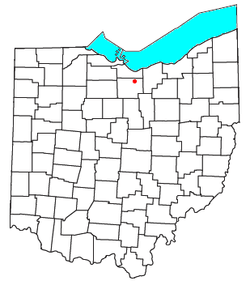 Location in Ohio | |
| Coordinates: 41°15′31″N 82°29′29″W | |
| Country | United States |
| State | Ohio |
| County | Huron |
| Township | Richmond |
| Area | |
| • Total | 4.62 sq mi (11.97 km2) |
| • Land | 4.62 sq mi (11.96 km2) |
| • Water | 0.004 sq mi (0.01 km2) |
| Elevation | 879 ft (268 m) |
| Population | |
| • Total | 631 |
| • Density | 137/sq mi (52.8/km2) |
| Time zone | UTC-5 (Eastern (EST)) |
| • Summer (DST) | UTC-4 (EDT) |
| ZIP code | 44826 |
| Area code(s) | 419 |
| FIPS code | 39-16784[1] |
| GNIS feature ID | 2628876[2] |
History
Some say the community was named after a railroad official named Collins, while others believe the place is named after Collinsville, Connecticut.[5]
Geography
Collins is in central Townsend Township in northeastern Huron County. The hamlet of Collins is in the northern part of the CDP on Hartland Center Road, 0.7 miles (1.1 km) north of U.S. Route 20, while the hamlet of East Townsend is at the geographic center of the CDP, at the junction of Hartland Center Road and US 20. Route 20 leads east 5 miles (8 km) to Wakeman and west 6 miles (10 km) to Norwalk, the Huron county seat.
According to the U.S. Census Bureau, the Collins CDP has an area of 4.6 square miles (12.0 km2), of which 0.004 square miles (0.01 km2), or 0.11%, are water.[1]
References
- "Geographic Identifiers: 2010 Census Summary File 1 (G001): Collins CDP, Ohio". American Factfinder. U.S. Census Bureau. Archived from the original on February 13, 2020. Retrieved January 12, 2018.
- U.S. Geological Survey Geographic Names Information System: Collins Census Designated Place
- U.S. Geological Survey Geographic Names Information System: Collins, Ohio
- Zip Code Lookup Archived 2007-10-10 at the Wayback Machine
- Overman, William Daniel (1958). Ohio Town Names. Akron, OH: Atlantic Press. p. 31.
Municipalities and communities of Huron County, Ohio, United States | ||
|---|---|---|
| Cities | 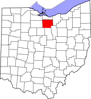 Map of Ohio highlighting Huron County | |
| Villages | ||
| Townships | ||
| CDPs | ||
| Unincorporated communities | ||
| Footnotes | ‡This populated place also has portions in an adjacent county or counties | |