Coconut Grove station
Coconut Grove station is a station on the Metrorail rapid transit system on the western end of the Coconut Grove neighborhood of Miami, Florida. The station is located at the intersection of South Dixie Highway (US 1) and West 27th Avenue/Grapeland Boulevard (SR 9), opening to service May 20, 1984.
| Metrorail metro station | |||||||||||||||
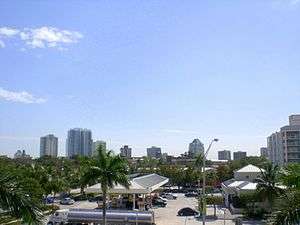 Center Coconut Grove, as seen from the station | |||||||||||||||
| Location | 2780 SW 27th Avenue Miami, Florida | ||||||||||||||
| Coordinates | 25°44′23″N 80°14′19″W | ||||||||||||||
| Owned by | Miami-Dade County | ||||||||||||||
| Platforms | 1 island platform | ||||||||||||||
| Tracks | 2 | ||||||||||||||
| Connections | |||||||||||||||
| Construction | |||||||||||||||
| Parking | Park and ride (204 spaces) | ||||||||||||||
| Disabled access | Yes | ||||||||||||||
| Other information | |||||||||||||||
| Station code | CGV | ||||||||||||||
| History | |||||||||||||||
| Opened | May 20, 1984 | ||||||||||||||
| Traffic | |||||||||||||||
| Passengers (2011) | 550,000[1] | ||||||||||||||
| Services | |||||||||||||||
| |||||||||||||||
In 2018, there were plans to make the station entirely solar-powered.[2]
Station layout
The station has two tracks served by an island platform, with a parking lot just north of the platform.
| P Platform level |
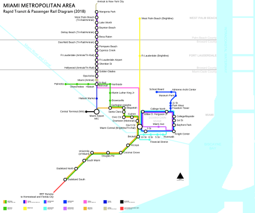
Southbound | ← Green Line, Orange Line toward Dadeland South (Douglas Road) |
| Island platform | ||
| Northbound | Green Line toward Palmetto (Vizcaya) → Orange Line toward Miami International Airport (Vizcaya) → | |
| G | Street level | Exit/entrance, fare control, parking, buses |
gollark: Your browser is wrong.
gollark: No.
gollark: Yes. It would be hard to make that possible, even.
gollark: You can inspect the code, it's quite small.
gollark: You're wrong then.
References
External links
This article is issued from Wikipedia. The text is licensed under Creative Commons - Attribution - Sharealike. Additional terms may apply for the media files.