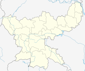
Chiria
Chiria is a census town in Pashchimi Singhbhum district in the state of Jharkhand, India. India's largest iron ore mine with reserves of 2,000 million tonnes of iron ore is located here. The mine is operated by Steel Authority of India Limited.
Chiria | |
|---|---|
city | |
 Chiria Location in Jharkhand, India  Chiria Chiria (India) | |
| Coordinates: 22.3°N 85.27°E | |
| Country | |
| State | Jharkhand |
| District | Pashchimi Singhbhum |
| Elevation | 479 m (1,572 ft) |
| Population (2011) | |
| • Total | 4,178 |
| Languages | |
| • Official | Hindi, Ho, Santali |
| Time zone | UTC+5:30 (IST) |
| Vehicle registration | JH |
Geography
Chiria is located at 22.3°N 85.27°E.[1] It has an average elevation of 479 metres (1571 feet).
Demographics
As of 2011 India census,[2] Chiria had a population of 4,178. Males constitute 51% of the population and females 49%. Chiria has an average literacy rate of 57%, lower than the national average of 59.5%; with male literacy of 68% and female literacy of 45%. 15% of the population is under 6 years of age. The local inhabitants are known as Ho people.
gollark: ?tag not found
gollark: Meanwhile, I... slightly refactored the markdown parsing code for my thing?
gollark: You'd barely even know that it contained GTech™ nanobots busily infiltrating all nearby information systems unless you had a desktop nanoscopic analyzer device!
gollark: I have some bismuth on my desk, it doesn't do much.
gollark: See, ABR is able to use emojis from all its servers; thusly, none are safe.
References
- Falling Rain Genomics, Inc - Chiria
- "Census of India 2011: Data from the 2011 Census, including cities, villages and towns (Provisional)". Census Commission of India. Archived from the original on 16 June 2004. Retrieved 1 November 2008.
This article is issued from Wikipedia. The text is licensed under Creative Commons - Attribution - Sharealike. Additional terms may apply for the media files.