Chapcha Gewog
Chapcha Gewog (Dzongkha: སྐྱབས་ཆ་,Chaapchha Gewog) is a gewog (village block) of Chukha District, Bhutan.[1] It has an area of 112.6 square kilometres and contains 11 villages.[2]
Chapcha Gewog སྐྱབས་ཆ་ | |
|---|---|
 Chapcha Gewog | |
| Coordinates: 27°11′36″N 89°32′16″E | |
| Country | |
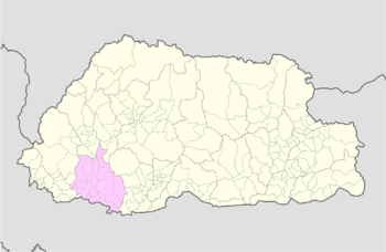
| District | Chukha District |
| Area | |
| • Total | 43.5 sq mi (112.6 km2) |
| Time zone | UTC+6 (BTT) |
Settlements
gollark: !choose "does it support quotes" "or not"
gollark: !choosemany 5 a b c d e f g h i j k l m n o p q r s t u v w x y z
gollark: !choosemany 5 a b c d e f g h i j k l m n o p q r s t u v w x y z
gollark: Awful lot of repeated choices.
gollark: !choosemany 5 a b c d e f g h i j k l m n o p q r s t u v w x y z
References
- "Chiwogs in Chukha" (PDF). Election Commission, Government of Bhutan. 2011. Archived from the original (PDF) on October 2, 2011. Retrieved July 28, 2011.
- "Bhutan Districts: Chhukha". Bhutan Majestic Travel. Archived from the original on July 2, 2010. Retrieved August 25, 2010.
| Central Bhutan Zone | |||||||||||||||||
|---|---|---|---|---|---|---|---|---|---|---|---|---|---|---|---|---|---|
| Southern Bhutan Zone |
| ||||||||||||||||
| Western Bhutan Zone |
| ||||||||||||||||
| Eastern Bhutan Zone | |||||||||||||||||
| Former Gewogs |
| ||||||||||||||||
This article is issued from Wikipedia. The text is licensed under Creative Commons - Attribution - Sharealike. Additional terms may apply for the media files.