Cercy-la-Tour
Cercy-la-Tour is a commune in the Nièvre department in central France.
Cercy-la-Tour | |
|---|---|
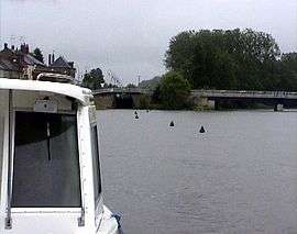 River Aron in Cercy-la-Tour | |
 Coat of arms | |
Location of Cercy-la-Tour 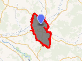
| |
 Cercy-la-Tour  Cercy-la-Tour | |
| Coordinates: 46°52′10″N 3°38′45″E | |
| Country | France |
| Region | Bourgogne-Franche-Comté |
| Department | Nièvre |
| Arrondissement | Château-Chinon |
| Canton | Luzy |
| Intercommunality | Loire et Morvan |
| Area 1 | 45.57 km2 (17.59 sq mi) |
| Population (2017-01-01)[1] | 1,746 |
| • Density | 38/km2 (99/sq mi) |
| Time zone | UTC+01:00 (CET) |
| • Summer (DST) | UTC+02:00 (CEST) |
| INSEE/Postal code | 58046 /58340 |
| Elevation | 191–253 m (627–830 ft) |
| 1 French Land Register data, which excludes lakes, ponds, glaciers > 1 km2 (0.386 sq mi or 247 acres) and river estuaries. | |
Geography
The village is located in the middle of the commune, where the river Alène joins the Aron.
Demographics
At the 1999 census, the population was 2,108. On 1 January 2005, the estimate was 2,091.
gollark: Bartering? Bees?
gollark: As planned. <@160279332454006795> <@734140198236979302> do thing.
gollark: 8.
gollark: Yes.
gollark: [REDACTED], but my statement is technically true.
See also
References
| Wikimedia Commons has media related to Cercy-la-Tour. |
| Authority control |
|
|---|
- "Populations légales 2017". INSEE. Retrieved 6 January 2020.
This article is issued from Wikipedia. The text is licensed under Creative Commons - Attribution - Sharealike. Additional terms may apply for the media files.