Carter Springs, Nevada
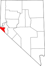
Carter Springs is a census-designated place (CDP) in Douglas County, Nevada, United States. The population was 553 at the 2010 census.[1]
Carter Springs, Nevada | |
|---|---|
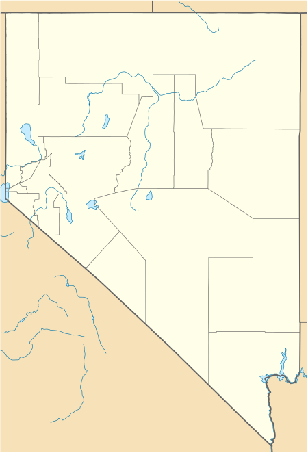
 Carter Springs Location of Carter Springs, Nevada | |
| Coordinates: 38°51′46″N 119°39′12″W | |
| Country | United States |
| State | Nevada |
| Area | |
| • Total | 2.8 sq mi (7.3 km2) |
| • Land | 2.8 sq mi (7.3 km2) |
| • Water | 0.0 sq mi (0.0 km2) |
| Elevation | 5,450 ft (1,660 m) |
| Population (2010) | |
| • Total | 553 |
| • Density | 200/sq mi (76/km2) |
| Time zone | UTC-8 (Pacific (PST)) |
| • Summer (DST) | UTC-7 (PDT) |
| Area code(s) | 775 |
| FIPS code | 32-10200 |
Geography
Carter Springs is 9 miles (14 km) southeast of Minden on the north side of U.S. Route 395. According to the United States Census Bureau, the CDP has a total area of 2.8 square miles (7.3 km2), all of it land.[1]
gollark: Which did you check.
gollark: There are many shops in wolfmall.
gollark: GCCS is available as an alternative for cbspy for weird people.
gollark: NOPE!
gollark: why
References
- "Geographic Identifiers: 2010 Demographic Profile Data (G001): Carter Springs CDP, Nevada". U.S. Census Bureau, American Factfinder. Archived from the original on February 12, 2020. Retrieved January 24, 2013.
This article is issued from Wikipedia. The text is licensed under Creative Commons - Attribution - Sharealike. Additional terms may apply for the media files.
