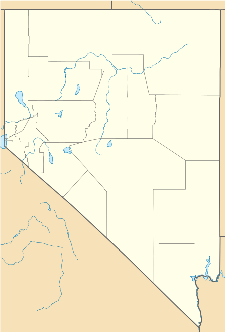
Mottsville, Nevada
Mottsville is an unincorporated community within the Humboldt–Toiyabe National Forest on the western edge of the Carson Valley in northwestern Douglas County, Nevada, United States. Mottsville is located at the junction of Nevada State Route 206 and Nevada State Route 207 4 miles (6.4 km) west-southwest of Minden.
Mottsville, Nevada | |
|---|---|
_just_to_the_north.jpg) Mottsville, viewed from SR 207 | |
 Mottsville | |
| Coordinates: 38°55′43″N 119°50′16″W | |
| Country | United States |
| State | Nevada |
| County | Douglas |
| Elevation | 4,777 ft (1,456 m) |
| Time zone | UTC-8 (Pacific (PST)) |
| • Summer (DST) | UTC-7 (PDT) |
| Area code(s) | 775 |
| Nevada Historical Marker | 121[1] |
History
Settlement on the Emigrant Trail where Hiram Mott and son Israel settled in 1851
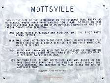 Mottsville, Nevada historical marker that commemorates early Nevada history
gollark: I don't think I have EM-having games really.
gollark: I'm busy doing music harvesting for OIR™ non-EM right now.
gollark: Submit electromagnetism for analysis then?!
gollark: By "just" I mean "several hours ago".
gollark: In any case, I just skimmed an article on implementation of an 802.11 PHY on a SDR/FPGA thingy, so I can tell you it probably does have to transmit things somewhat.
See also
![]()
References
- "Nevada Historical Markers". Nevada State Historic Preservation Office. Archived from the original on 4 February 2013. Retrieved 24 February 2013.
External links
![]()
Municipalities and communities of Douglas County, Nevada, United States | ||
|---|---|---|
| CDPs | 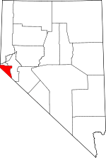 Douglas County map | |
| Unincorporated communities | ||
This article is issued from Wikipedia. The text is licensed under Creative Commons - Attribution - Sharealike. Additional terms may apply for the media files.