Brunstane
Brunstane /ˈbrʌnstən/ is a northeastern suburb of the city of Edinburgh, Scotland. It lies on the A1 and is served by Brunstane railway station on the Borders Railway. Brunstane partly consists of new housing, such as the Gilberstoun estate, and also contains the 1950s council housing schemes known as Magdalene and the Christians, which are south and north of Milton Road respectively.
| Brunstane | |
|---|---|
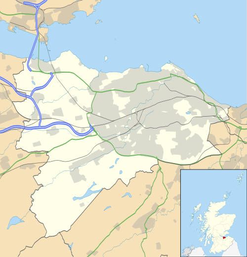
 Brunstane Location within Edinburgh | |
| OS grid reference | NT315725 |
| Council area | |
| Lieutenancy area |
|
| Country | Scotland |
| Sovereign state | United Kingdom |
| Post town | EDINBURGH |
| Postcode district | EH15 |
| Dialling code | 0131 |
| Police | Scotland |
| Fire | Scottish |
| Ambulance | Scottish |
| UK Parliament | |
| Scottish Parliament | |
Prominent local features include the Milton Road campus of the Edinburgh College and Edinburgh's largest Asda supermarket. Extensive shopping and some leisure facilities are close by at the Fort Kinnaird retail park nearby, on the site of the former Newcraighall coalmine.
Brunstane House
Much of the area at one time constituted the policies of Brunstane House (i.e. the lands attached to the mansion). Occupied from medieval times and sometimes referred to as Gilbertoun, during the Reformation the house was occupied by the Crichton family, infamous for conspiring against Cardinal Beaton. In 1545 both George Wishart and John Knox stayed at the house.
The current house was built in 1639 for John Maitland, 1st Duke of Lauderdale, incorporating an L-plan house dating from the 1560s and early 14th century elements built for the Crichton family. It was extended by Sir William Bruce in 1672 and bought by Andrew Fletcher, Lord Milton in 1733. He employed William Adam to rebuild parts of the house and install interior panelling, plasterwork and other features. The house includes some of the earliest known examples of sash windows in Scotland (invented in 1690).[1]
The house had an interesting sales history, changing hands many times.
- 19 March 1703 - inherited by Lyonell, Earl of Dysart only son of the Duchess of Lauderdale.
- 31 May 1736 - sold to the Duke of Argyll
- 1746 - sold to James, 3rd Earl of Abercorn
- 28 September 1747 - part of land sold by James to Andrew Fletcher, Lord Milton (who had been Lord Justice Clerk since 1735). He died in his house 13 December 1766.
- 15 February 1769 - properties reamalgamated and sold to James, 8th Earl of Abercorn.
- In 1875 his descendant the 1st Duke of Abercorn sold the house to the Benhar Coal Company for the mineral rights. They parcelled off the land and sold on the house, now stripped of its estate lands.
- The house was split in two in the 20th century. One half is now owned by George Kerevan.
Transport
Rail Services
Brunstane is served by Brunstane railway station.
Lothian Buses
Lothian Buses provide 5 buses to the area:
5 Hunters Tryst - Oxgangs - Morningside - Newington - North Bridge - Meadowbank - Northfield - Brunstane - Asda
44/44A Balerno - Slateford Station - Haymarket - Princes Street - Meadowbank - Brunstane - Musselburgh - Wallyford
X44 Haymarket - Princes Street - Regent Road - Meadowbank - Brunstane - A1 - Wallyford - Tranent
113 Western General Hospital - West End - Regent Road - Brunstane - Eastfield - Musselburgh - Wallyford Park & Ride - Tranent - Ormiston - Pencaitland
N44 Tranent - Wallyford - Musselburgh - Brunstane - City Centre - Slateford - Juniper Green - Currie - Balerno
Brunstane Burn
A stream, here called the Brunstane Burn, runs through the area before joining the Firth of Forth between Joppa and Musselburgh, where it forms the boundary between the City of Edinburgh and East Lothian. Upstream of Brunstane the burn goes variously by the names of the Niddrie Burn, Burdiehouse Burn and Lothian Burn.[2]
The bridge at the end of the stream, where the main road crosses, just east of the Milton Road East/ Joppa Road junction on the road to Musselburgh is known as the Magdalene Bridge after a small Magdalene Chapel which formerly stood in this area.
References
- "Brunstane House :: Historic Houses Association". Hha.org.uk. Retrieved 6 March 2012.
- "Archived copy" (PDF). Archived from the original (PDF) on 1 June 2010. Retrieved 2012-03-06.CS1 maint: archived copy as title (link)
External links
- Google map centred on Brunstane House built in 1639.
- Leaflet on car-free access to eastern Edinburgh
- Brunstane Primary School
