Boynton, East Riding of Yorkshire
Boynton is a village and civil parish in the East Riding of Yorkshire, England. It is situated approximately 3 miles (5 km) west of the town of Bridlington and lies on the B1253 road.
Apr2006.jpg)
| Boynton | |
|---|---|
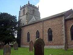
 St Andrew's Church, Boynton | |
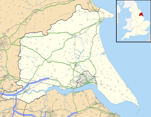
 Boynton Location within the East Riding of Yorkshire | |
| Population | 161 (2001 census)[1] |
| OS grid reference | TA136682 |
| • London | 180 mi (290 km) S |
| Civil parish |
|
| Unitary authority | |
| Ceremonial county | |
| Region | |
| Country | England |
| Sovereign state | United Kingdom |
| Post town | BRIDLINGTON |
| Postcode district | YO16 |
| Dialling code | 01262 |
| Police | Humberside |
| Fire | Humberside |
| Ambulance | Yorkshire |
| UK Parliament | |
According to the 2001 UK census, the parish had a population of 161,[1] however the 2011 census grouped the parish with Grindale (2001 pop. 98), giving a total of 229.[2] The parish church of St Andrew's is a Grade I listed building.[3] It includes a 15th-century tower,[4] as well as memorials to the Strickland, later Cholmley, later Strickland-Constable Baronets, of Boynton (1641), whose seat was at Boynton Hall, which is also Grade I listed.[5]
From the mediaeval era until the 19th century Boynton was part of Dickering Wapentake.[6] Between 1894 and 1974 Boynton was a part of the Bridlington Rural District, in the East Riding of Yorkshire.[7] Between 1974 and 1996 it was part of the Borough of North Wolds (later Borough of East Yorkshire, in the county of Humberside.
References
- "2001 Census: Key Statistics: Parish Headcounts: Area: Boynton CP (Parish)". Neighbourhood Statistics. Office for National Statistics. Retrieved 14 May 2008.
- UK Census (2011). "Local Area Report – Boynton Parish (1170211148)". Nomis. Office for National Statistics. Retrieved 15 February 2018.
- Historic England. "Church of St Andrew (1083392)". National Heritage List for England. Retrieved 16 April 2012.
- "Boynton, St Andrew's Church - History, Travel, and accommodation information". Britain Express. Retrieved 12 September 2019.
- Historic England. "Boynton Hall (1083385)". National Heritage List for England. Retrieved 16 April 2012.
- "Dickering-Wap through time". A Vision of Britain Through Time. University of Portsmouth. Retrieved 24 November 2019.
- "Bridlington RD". A Vision of Britain Through Time. University of Portsmouth. Archived from the original on 10 February 2012. Retrieved 11 April 2013.
- Gazetteer — A–Z of Towns Villages and Hamlets. East Riding of Yorkshire Council. 2006. p. 4.
External links

- Historic England. "St Andrew's Church (1083392)". National Heritage List for England.
- Boynton in the Domesday Book
- Boynton Village community website