Boulton, Derby
Boulton is a suburb and local government ward of the city of Derby, England, and is located about four miles to the south-east of Derby city centre. It is closely associated with the neighbouring suburb of Alvaston under which postal code sector (DE24 0) and postal dependent locality it comes.
| Boulton | |
|---|---|
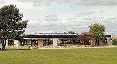
 Oakwood Infant School | |
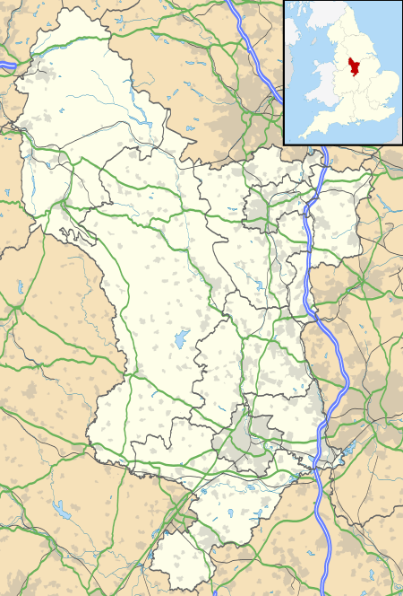
 Boulton Location within Derbyshire | |
| District | |
| Shire county | |
| Region | |
| Country | England |
| Sovereign state | United Kingdom |
| Post town | DERBY |
| Postcode district | DE24 |
| Dialling code | 01332 |
| Police | Derbyshire |
| Fire | Derbyshire |
| Ambulance | East Midlands |
| UK Parliament | |
The land at Boulton is recorded as belonging to Ralph fitzHubert in 1086.[2] Boulton is represented on Derby City Council by three councillors. It has an Anglican church dedicated to St. Mary the Virgin, a Baptist church and a Grade II listed building called Nunsfield House.
History
Hundreds of years ago, most of the area consisted of fields and farmland area.
The Anglican Church

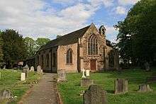
The Anglican church, more usually called Boulton St. Mary's,[3] was built about the year 1150 by the Sacheverell family who were owners of the Manor of Boulton at that time.[4] Following a long period of dispute the church became a chapel of ease in 1281 to St. Peter's in Derby, this being brought about by the ambitions of the all-powerful abbot of Darley Abbey. The church is now within the Diocese of Derby. The lychgate which forms the main entrance to the churchyard on Boulton Lane is a war memorial to those of the parish who gave their lives in the Great War of 1914 to 1919. The church has been altered and extended during its long history but still retains some of the original Norman fabric.[5]
Nunsfield House
Nunsfield House, also on Boulton Lane, was built in 1828 by Mr Charles Holbrook and after subsequent owners and tenants it passed into the hands of Derbyshire County Council and later still (1996) to Derby City Council.[6] The house is used for community purposes and in 1935 a community hall called the Jubilee Room was added. A small and cramped outbuilding was used as the local library for about 50 years and despite the difficult accommodation, the library was extremely popular. A modern library with computer terminals and Internet access is now available and located in the main Alvaston shopping centre.
Boulton Moor
Boulton Moor is a distinct, highly sought-after area. Part of this area is outside the city boundary and is in the civil parish of Elvaston in South Derbyshire.
A Site of Special Scientific Interest known as Boulton Moor SSSI[7] is situated in the agricultural land which borders the residential area of Boulton.
References
- "Ordnance Survey Election Maps website". Ordnance Survey. Archived from the original on 7 March 2008. Retrieved 21 October 2019.
- Domesday Book: A Complete Translation. London: Penguin, 2003. ISBN 0-14-143994-7 p.752
- Boulton St Mary's Website
- Notes on the Churches of Derbyshire Volume IV by Dr. J. Charles Cox, published 1882
- Archived 23 February 2018 at the Wayback Machine Boulton Church History Site
- Derbyshire Life and Countryside May 2003, XIV: Nunsfield House, Boulton by Maxwell Craven
- Boulton SSSI Archived 2012-03-24 at the Wayback Machine
External links
| Wikimedia Commons has media related to Boulton, Derby. |
- Boulton in the Domesday Book
- Boulton: historical and genealogical information at GENUKI.