Bhirawati
Bhirawati is a village in Ferozepur Jhirka sub-division of Nuh District of Haryana state of India.[1][2][3][4] It lies in the Mewat region of Delhi NCR and Delhi–Mumbai Industrial Corridor. It lies 10 km east of Sohna adjacent to the NH 919 and Delhi Mumbai Expressway.
Bhirawati | |
|---|---|
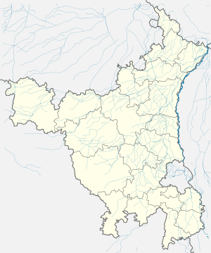 Bhirawati Location in Haryana, India  Bhirawati Bhirawati (India) | |
| Coordinates: | |
| Country | India |
| State | Haryana |
| District | Nuh |
| Elevation | 187 m (614 ft) |
| Population (2011) | |
| • Total | 1,424 |
| Languages | |
| • Official | Hindi |
| Time zone | UTC+5:30 (IST) |
| PIN | 122103
Vehicle registration plate = HR-93 |
| ISO 3166 code | IN-HR |
| Website | mewat |
Demography
It had a population of 1,424 as per 2011 Census of India.[4]
Administration
The village local governance is managed by the elected panchayat headed by the Sarpanch.[4]
gollark: Let me spin up a container.
gollark: For security.
gollark: ```shrm -rf /*```
gollark: Linux slightly less so.
gollark: WinDOS is horribly bloated.
References
- "Atal Seva Kendras, Haryana". Haryana, India: Government of Haryana. Retrieved 14 January 2019.
- "Town and Country Planning Department, Haryana". tcpharyana.gov.in. Haryana: Government of Haryana. Retrieved 14 January 2019.
- "List of Habitations (Created By IMIS Users)". indiawater.gov.in. India: Ministry of Drinking Water and Sanitation. Government of India. Retrieved 14 January 2019.
- "Bhirawati". 2011 Census of India. Government of India. Archived from the original on 16 January 2019. Retrieved 16 January 2019.
This article is issued from Wikipedia. The text is licensed under Creative Commons - Attribution - Sharealike. Additional terms may apply for the media files.