Bentiu Airport
Bentiu Airport is an airport in South Sudan. It is located just north of Rubkona, a town that sits across the Bahr el Ghazal River from Bentiu. Via El Salaam Bridge, the airport is 4 kilometres (2.5 mi) by road from Bentiu.
Bentiu Airport | |||||||||||
|---|---|---|---|---|---|---|---|---|---|---|---|
| Summary | |||||||||||
| Airport type | Public, Civilian | ||||||||||
| Owner | Civil Aviation Authority of South Sudan | ||||||||||
| Serves | Bentiu, South Sudan | ||||||||||
| Location | Rubkona, | ||||||||||
| Elevation AMSL | 1,279 ft / 390 m | ||||||||||
| Coordinates | 09°18′13″N 029°47′14″E | ||||||||||
| Map | |||||||||||
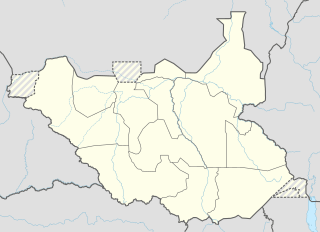 Bentiu Location of Bentiu Airport in South Sudan | |||||||||||
| Runways | |||||||||||
| |||||||||||
Location
Bentiu Airport (IATA: n/a, ICAO: HSBT) is located in Rubkon County in Northern Liech, just north of the town of Rubkona, near the International border with the Republic of Sudan. The airport is located about 4 kilometres (2.5 mi) directly north of Bentiu.
This location lies approximately 530 kilometres (330 mi), by air, northwest of Juba International Airport, the largest airport in South Sudan.[1] The geographic coordinates of this airport are: 9° 18' 12.60"N, 29° 47' 13.92"E (Latitude: 9.30350; Longitude: 29.78720). Bentiu Airport sits at an elevation of 390 metres (1,280 ft) above sea level. The airport has a single unpaved runway, the dimensions of which are 1300 x 23 metres, or 4264 x 75 feet.
Overview
Bentiu Airport is a small civilian and military airport that serves the town of Bentiu and surrounding communities.
See also
References
- "Distance between Bentiu (Al Wahdah) and Juba () (Airport) (Sudan)". distancecalculator.globefeed.com. Retrieved 2018-08-24.