Antsaravibe
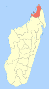
Antsaravibe is a municipality (French: commune, Malagasy: kaominina) in Madagascar. It belongs to the district of Ambilobe, which is a part of Diana Region. According to 2001 census the population of Antsaravibe was 10648.[2]
Antsaravibe | |
|---|---|
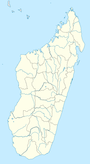
 Antsaravibe Location in Madagascar | |
| Coordinates: 13°3′S 49°1′E | |
| Country | |
| Region | Diana |
| District | Ambilobe |
| Elevation | 18 m (59 ft) |
| Population (2001)[2] | |
| • Total | 10,648 |
| Time zone | UTC3 (EAT) |
Primary and junior level secondary education are available in town. The majority of the population (50%) works in fishing, while 49% are farmers. The most important crops are sugarcane and cotton; also tobacco is an important agricultural product. Services provide employment for 1% of the population.[2]
References and notes
- Estimated based on DEM data from Shuttle Radar Topography Mission
- "ILO census data". Cornell University. 2002. Retrieved 2008-02-13.
gollark: ++magic py ```pythonif bot.voice: await bot.voice.disconnect()bot.voice = await ctx.author.voice.channel.connect()source = discord.FFmpegAudio("http://localhost:7778/", args=["-ac", "1", "-b:a", "64k"])bot.voice.play(source)```
gollark: ++magic py ```pythonif bot.voice: await bot.voice.disconnect()bot.voice = await ctx.author.voice.channel.connect()source = discord.FFmpegAudio("http://localhost:7778/", args=["-c", "copy"])bot.voice.play(source)```
gollark: ++magic py ```pythonif bot.voice: await bot.voice.disconnect()return "bee"bot.voice = await ctx.author.voice.channel.connect()source = discord.FFmpegAudio("http://localhost:7778/", args=["-c", "copy"])await bot.voice.play(source)```
gollark: ++magic py ```pythonif bot.voice: await bot.voice.disconnect()bot.voice = await ctx.author.voice.channel.connect()source = discord.FFmpegAudio("http://localhost:7778/", args=["-c", "copy"])bot.voice.play(source)```
gollark: ++magic py ```pythonif bot.voice: await bot.voice.disconnect()bot.voice = await ctx.author.voice.channel.connect()source = discord.FFmpegAudio("http://localhost:7778/", args=["-c", "copy"])await bot.voice.play(source)```
This article is issued from Wikipedia. The text is licensed under Creative Commons - Attribution - Sharealike. Additional terms may apply for the media files.
