Altnagelvin
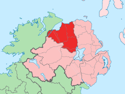
Altnagelvin (from Irish: Alt na nGealbhán, meaning "Glen/height of the sparrows")[5] is a townland in County Londonderry, Northern Ireland. It is also the name of an electoral ward in Derry and Strabane district. Formerly a small village, it has been absorbed into the Waterside neighbourhood of Derry. Within Altnagelvin is Altnagelvin Area Hospital, a large hospital which serves the most of the county.
Altnagelvin | |
|---|---|
| Irish transcription(s) | |
| • Derivation: | Alt na nGealbhán |
| • Meaning: | "Glen/height of the sparrows" |
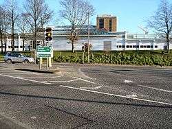
 Altnagelvin Junction, which in 2004 saw 12930 vehicles pass through every day.[3] Altnagelvin Area Hospital is in the background. | |
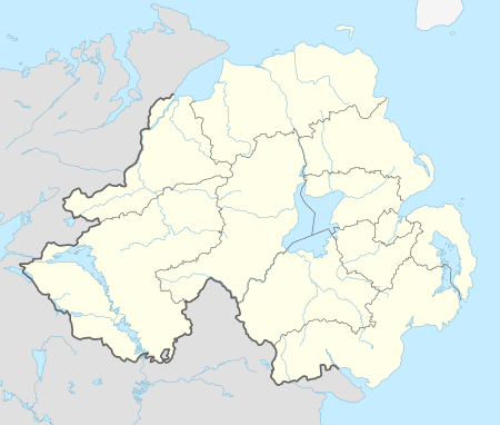
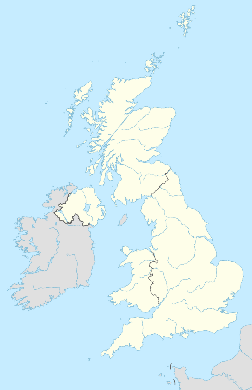
 Altnagelvin Altnagelvin shown within Northern Ireland  Altnagelvin Altnagelvin (the United Kingdom) | |
| Coordinates: 54°58′52″N 7°17′17″W | |
| Sovereign state | United Kingdom |
| Country | Northern Ireland |
| County | Londonderry |
| Barony | Tirkeeran |
| Civil parish | Clondermot |
| Settlements | Derry |
| Government | |
| • Council | Derry and Strabane |
| • Ward | Altnagelvin |
| Area | |
| • Total | 293.30 acres (118.69 ha) |
The busy A6 road from Belfast to Derry passes through the townland.
Demographics
On Census Day 29 April 2001 the resident population of Altnagelvin ward was 4477.[6] Of these:
- 26.6% were under 16 years old and 11.0% were aged 60 and above [6]
- 48.3% of the population were male and 51.7% were female [6]
- 38.0% were from a Roman Catholic background and 59.7% were from a Protestant background [6]
- 5.2% of those aged 16–74 were unemployed [6]
gollark: Gender octachoron.
gollark: Potential energy is zeroed where force is zeroed, right?
gollark: What? They're not.
gollark: Sometimes I really worry about my code.
gollark: I can. I just won't.
References
- Logainm - Placenames Database of Ireland
- Northern Ireland Roads Site - Derry to Dungiven road
- Northern Ireland Roads Site - Derry to Dungiven road
- Northern Ireland Environment Agency. "NIEA Map Viewer". Archived from the original on 24 November 2011. Retrieved 27 January 2012.
- "Placenames NI website".
- "Altnagelvin Ward statistics". NINIS. 31 May 2007. Retrieved 2 February 2008.
This article is issued from Wikipedia. The text is licensed under Creative Commons - Attribution - Sharealike. Additional terms may apply for the media files.
