Alma, Victoria
Alma is a town in Victoria, Australia, along the Maryborough – St Arnaud Road, west of Maryborough. In the 2006 census, Alma and the surrounding area had a population of 692.[1]
| Alma Victoria | |
|---|---|
 Alma | |
| Coordinates | 37°1′38″S 143°40′40″E |
| Population | 692 (2006 census)[1] |
| Postcode(s) | 3465 |
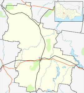
| Location |
|
| LGA(s) | Shire of Central Goldfields |
| State electorate(s) | Ripon |
| Federal Division(s) | Mallee |
Alma began as a gold-mining settlement and was named after the Battle of Alma in the Crimean War. It was surveyed in 1860, the Post Office opening on 1 July 1861.[2] (closed 1969), and proclaimed in 1891. It had a peak population of 2,109.
References
- Australian Bureau of Statistics (25 October 2007). "Alma (State Suburb)". 2006 Census QuickStats. Retrieved 16 March 2010.
- Premier Postal History, Post Office List, retrieved 11 April 2008
This article is issued from Wikipedia. The text is licensed under Creative Commons - Attribution - Sharealike. Additional terms may apply for the media files.