2000 Turkmenistan earthquake
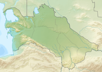
The 2000 Turkmenistan earthquake took place at 8:11 p.m. Moscow Time on December 6 and had a magnitude of 7.0.[3] The intensity of the earthquake reached VIII at its epicenter, and VI at the Turkmen capital of Ashgabat. The epicenter was located approximately 25 kilometers north of the city of Balkanabat and 125 kilometers southeast of Türkmenbaşy. There were unconfirmed reports that the quake killed up to 11 people and injured 5 others.[4]
 | |
| UTC time | 2000-12-06 17:11:08 |
|---|---|
| ISC event | 1742774 |
| USGS-ANSS | ComCat |
| Local date | December 6, 2000 |
| Local time | 22:11:08 |
| Magnitude | 7.0 Mw [1] |
| Depth | 30 km (19 mi) [1] |
| Epicenter | 39.48°N 54.82°E [1] |
| Type | Oblique-slip [2] |
| Areas affected | Turkmenistan |
| Max. intensity | VIII |
| Casualties | 11 dead |
Tectonic setting
Turkmenistan lies at the northern edge of the zone of complex tectonics caused by the continuing collision between the Arabian Plate and the Eurasian Plate. The main structure in the Caspian Sea is the Apsheron Sill, a zone of active subduction. The trend of the Apsheron sill is quite oblique to the overall plate motion and this results in significant amounts of right lateral strike-slip along this structure in an overall transpressional setting. Onshore, the motion along the Apsheron sill is transferred to the Ashgabat Fault, another right lateral strike-slip fault, across a large restraining bend.[5]
Earthquake
The focal mechanism for this event indicates that it was the result of oblique reverse faulting on one of two possible faults, either northwest–southeast or west–east trending.[6]
See also
References
- ISC (2015), ISC-GEM Global Instrumental Earthquake Catalogue (1900–2009), Version 2.0, International Seismological Centre
- USGS (September 4, 2009), PAGER-CAT Earthquake Catalog, Version 2008_06.1, United States Geological Survey
- "Significant Earthquakes of the World 2000". USGS. Archived from the original on 1 September 2010. Retrieved 13 September 2010.
- "Turkmenistan: Earthquake Causes Heavy Damage". Retrieved 13 September 2010.
- Van Dijk, J.; Ajayi, A.T.; Eid, T.; Eldali, M.; Ellen, H.; Guney, H.; Hashem, M.; Knispel, R.; Rouis, L.; Santoni, S. (2018). "An integrated Geological Model for the Greater Cheleken Area, Central Caspian Basin, Turkmenistan; Complez Synsedimentary Transcurrent Faulting and compartmentalization in Plio-Pleistocene Calstic Reservoirs" (PDF). Society of Petroleum Engineers. Retrieved 4 April 2020.
- ANSS. "Turkmenistan 2000 : M 7.0 - Turkmenistan". Comprehensive Catalog. U.S. Geological Survey. Retrieved 4 April 2020
External links
- Strong Earthquake Hits Turkmenistan – People's Daily
- The International Seismological Centre has a bibliography and/or authoritative data for this event.