Šlapanice
Šlapanice (Czech pronunciation: [ˈʃlapaɲɪtsɛ]) is a town in the South Moravian Region of the Czech Republic, close to Brno.
- See other locations named Šlapanice.
Šlapanice | |
|---|---|
Town | |
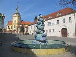
 Masaryk Square with the museum and the Church of the Assumption of the Virgin Mary | |
 Flag  Coat of arms | |
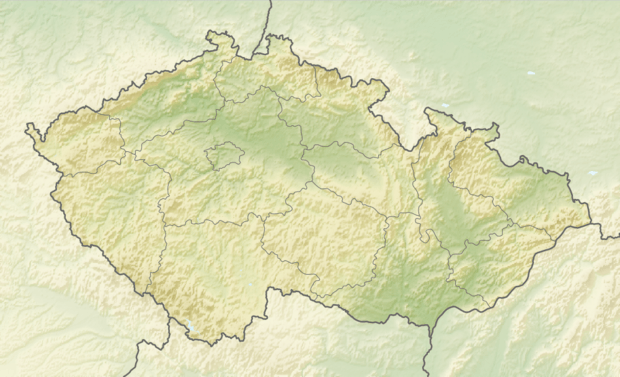
 Šlapanice Location in the Czech Republic | |
| Coordinates: 49°10′7″N 16°43′38″E | |
| Country | Czech Republic |
| Region | South Moravian |
| District | Brno-Country |
| First mentioned | 1235 |
| Government | |
| • Mayor | Michaela Trněná |
| Area | |
| • Total | 14.64 km2 (5.65 sq mi) |
| Elevation | 230 m (750 ft) |
| Population (2019-01-01[1]) | |
| • Total | 7,563 |
| • Density | 520/km2 (1,300/sq mi) |
| Time zone | UTC+1 (CET) |
| • Summer (DST) | UTC+2 (CEST) |
| Postal code | 664 51 |
| Website | www.slapanice.cz |
It has approximately 7,500 inhabitants.
Village Bedřichovice is an administrative part of Šlapanice.
Twin towns — sister cities
Šlapanice is twinned with:[2]
gollark: Yes it is, people are apparently just used to it now?
gollark: I like how Electron applications casually use more RAM than cutting-edge machine learning.
gollark: FEAR extremely inefficient use of VRAM by my stuff.
gollark: I mean, maaaybe, but the other thing works.
gollark: Excellent, it works.
References
- "Population of municipalities of the Czech republic". Czech Statistical Office. Retrieved 2019-04-30.
- "Jumelages: Slapanice" (in French). Braine-l'Alleud. Retrieved 2019-08-27.
This article is issued from Wikipedia. The text is licensed under Creative Commons - Attribution - Sharealike. Additional terms may apply for the media files.