Urtaca
Urtaca is a commune in the Haute-Corse department of France on the island of Corsica.
Urtaca | |
|---|---|
 A panorama of the village of Urtaca | |
Location of Urtaca 
| |
 Urtaca 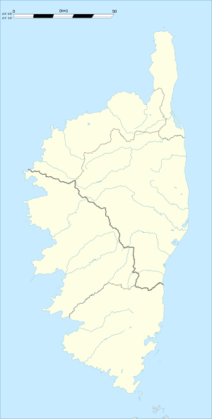 Urtaca | |
| Coordinates: 42°35′39″N 9°10′03″E | |
| Country | France |
| Region | Corsica |
| Department | Haute-Corse |
| Arrondissement | Calvi |
| Canton | L'Île-Rousse |
| Government | |
| • Mayor (2008–2014) | Françoise Xavière Montecattini |
| Area 1 | 31.26 km2 (12.07 sq mi) |
| Population (2017-01-01)[1] | 230 |
| • Density | 7.4/km2 (19/sq mi) |
| Time zone | UTC+01:00 (CET) |
| • Summer (DST) | UTC+02:00 (CEST) |
| INSEE/Postal code | 2B332 /20218 |
| Elevation | 37–1,367 m (121–4,485 ft) (avg. 380 m or 1,250 ft) |
| 1 French Land Register data, which excludes lakes, ponds, glaciers > 1 km2 (0.386 sq mi or 247 acres) and river estuaries. | |
Geography
Urtaca is located in the north of Corsica at the confluence of the Ostricone and the Fiume di Gargalagne at the foot of 1,018-metre (3,340 ft)-high Mont Vicinasco.
Population
| Year | Pop. | ±% |
|---|---|---|
| 1537 | 134 | — |
| 1729 | 189 | +41.0% |
| 1740 | 180 | −4.8% |
| 1761 | 211 | +17.2% |
| 1769 | 209 | −0.9% |
| 1782 | 211 | +1.0% |
| 1802 | 240 | +13.7% |
| 1807 | 246 | +2.5% |
| 1818 | 280 | +13.8% |
| 1831 | 297 | +6.1% |
| 1836 | 326 | +9.8% |
| 1841 | 317 | −2.8% |
| 1846 | 328 | +3.5% |
| 1851 | 337 | +2.7% |
| 1856 | 323 | −4.2% |
| 1861 | 347 | +7.4% |
| 1866 | 335 | −3.5% |
| 1872 | 360 | +7.5% |
| 1876 | 375 | +4.2% |
| 1881 | 387 | +3.2% |
| 1886 | 410 | +5.9% |
| 1891 | 400 | −2.4% |
| 1896 | 517 | +29.2% |
| 1901 | 501 | −3.1% |
| 1906 | 507 | +1.2% |
| 1911 | 502 | −1.0% |
| 1921 | 292 | −41.8% |
| 1926 | 247 | −15.4% |
| 1931 | 243 | −1.6% |
| 1936 | 257 | +5.8% |
| 1946 | 246 | −4.3% |
| 1954 | 217 | −11.8% |
| 1962 | 220 | +1.4% |
| 1968 | 220 | +0.0% |
| 1975 | 198 | −10.0% |
| 1982 | 178 | −10.1% |
| 1990 | 155 | −12.9% |
| 1999 | 172 | +11.0% |
| 2008 | 194 | +12.8% |
References
- "Populations légales 2017". INSEE. Retrieved 6 January 2020.
| Wikimedia Commons has media related to Urtaca. |
| Authority control |
|
|---|
This article is issued from Wikipedia. The text is licensed under Creative Commons - Attribution - Sharealike. Additional terms may apply for the media files.