Luri, Haute-Corse
Luri is a commune of the Haute-Corse department of France on the island of Corsica.
Luri | |
|---|---|
 | |
Location of Luri 
| |
 Luri 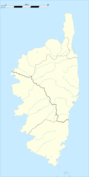 Luri | |
| Coordinates: 42°53′00″N 9°28′00″E | |
| Country | France |
| Region | Corsica |
| Department | Haute-Corse |
| Arrondissement | Bastia |
| Canton | Cap Corse |
| Intercommunality | Cap Corse |
| Government | |
| • Mayor | Georges Germoni |
| Area 1 | 27.53 km2 (10.63 sq mi) |
| Population (2017-01-01)[1] | 835 |
| • Density | 30/km2 (79/sq mi) |
| Time zone | UTC+01:00 (CET) |
| • Summer (DST) | UTC+02:00 (CEST) |
| INSEE/Postal code | 2B152 /20228 |
| Elevation | 0–1,136 m (0–3,727 ft) (avg. 600 m or 2,000 ft) |
| 1 French Land Register data, which excludes lakes, ponds, glaciers > 1 km2 (0.386 sq mi or 247 acres) and river estuaries. | |
History
Luri has been tentatively identified as the Lurinum of Ptolemy[2] both by similarity of name and because of Castellu di Luri, a Roman-style fortification occupied from the third century BC to the 1st century AD.[3] It was in the territory of Ptolemy's tribe, Vanacini, who according to a bronze inscription recording a letter from the emperor Vespasian, had their own senate and magistrates and were therefore probably semi-autonomous.[4] They may have occupied the fort themselves.
Population
| Year | Pop. | ±% |
|---|---|---|
| 1962 | 608 | — |
| 1968 | 615 | +1.2% |
| 1975 | 540 | −12.2% |
| 1982 | 564 | +4.4% |
| 1990 | 671 | +19.0% |
| 1999 | 749 | +11.6% |
| 2008 | 694 | −7.3% |

References
- "Populations légales 2017". INSEE. Retrieved 6 January 2020.
- Geography Book III Chapter 2.
- Wilson, R.J.A. (1996). "Sicily, Sardinia and Corsica". In Bowman, Alan K.; Champlin, Edward; Lintott, Andrew (eds.). The Cambridge Ancient History: The Augustan Empire, 43 B.C. - A.D. 69. Cambridge University Press. p. 446. ISBN 0-521-26430-8..
- Sherk, Robert K. (1988). The Roman Empire: Augustus to Hadrian. Cambridge University Press. p. 130. ISBN 0-521-33887-5.
| Wikimedia Commons has media related to Luri. |
| Authority control |
|
|---|
This article is issued from Wikipedia. The text is licensed under Creative Commons - Attribution - Sharealike. Additional terms may apply for the media files.