Twombly Ridge, Maine
Twombly Ridge is an unorganized territory (township) located in Penobscot County, Maine. At the 2010 census, the unorganized territory had a total population of 0.[1]
Twombly Ridge, Maine | |
|---|---|
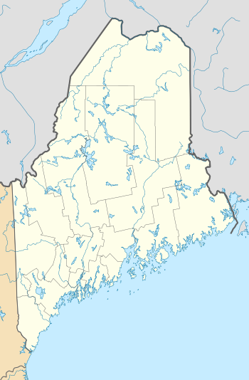
 Twombly Ridge, Maine Location within the state of Maine | |
| Coordinates: 45°16′38.2″N 68°15′38.2″W | |
| Country | United States |
| State | Maine |
| County | Penobscot |
| Area | |
| • Total | 45.1 sq mi (116.8 km2) |
| • Land | 43.9 sq mi (113.7 km2) |
| • Water | 1.2 sq mi (3.2 km2) |
| Elevation | 669 ft (204 m) |
| Population (2010) | |
| • Total | 0 |
| Time zone | UTC-5 (Eastern (EST)) |
| • Summer (DST) | UTC-4 (EDT) |
| Area code(s) | 207 |
| FIPS code | 23-78015 |
| GNIS feature ID | 582771 |
Geography
According to the United States Census Bureau, the unorganized territory has a total area of 45.1 square miles (116.8 km²), of which 43.9 square miles (113.7 km²) is land and 1.2 square miles (3.2 km²) is water. The total area is 2.70% water.
Demographics
| Historical population | |||
|---|---|---|---|
| Census | Pop. | %± | |
| 2000 | 2 | — | |
| 2010 | 0 | −100.0% | |
| Est. 2014 | 0 | [2] | |
| U.S. Decennial Census[3] | |||
As of the 2010 Census,[4] there were no people living in the territory.
References
- "Geographic Identifiers: 2010 Demographic Profile Data (G001): Twombly Ridge UT, Penobscot County, Maine". U.S. Census Bureau, American Factfinder. Archived from the original on February 12, 2020. Retrieved November 20, 2012.
- "Annual Estimates of the Resident Population for Incorporated Places: April 1, 2010 to July 1, 2014". Archived from the original on May 23, 2015. Retrieved June 4, 2015.
- "Census of Population and Housing". Census.gov. Retrieved June 4, 2015.
- "U.S. Census website". United States Census Bureau. Retrieved 2008-01-31.
This article is issued from Wikipedia. The text is licensed under Creative Commons - Attribution - Sharealike. Additional terms may apply for the media files.
