Taiskirchen im Innkreis
Taiskirchen im Innkreis (Austro-Bavarian: Tåskira / German: Taiskirchen im Innkreis) is a municipality in the district of Ried im Innkreis in the Austrian state of Upper Austria.
Taiskirchen im Innkreis | |
|---|---|
 | |
 Coat of arms | |
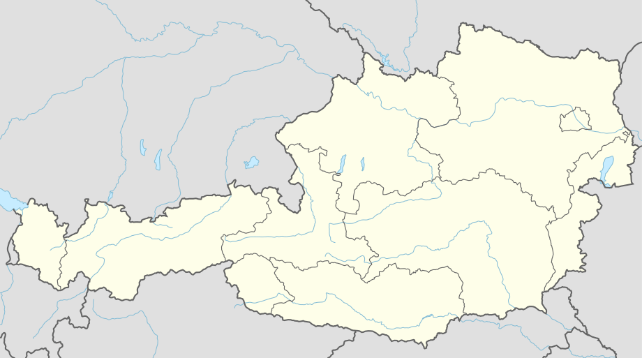 Taiskirchen im Innkreis Location within Austria | |
| Coordinates: 48°15′49″N 13°34′25″E | |
| Country | Austria |
| State | Upper Austria |
| District | Ried im Innkreis |
| Government | |
| • Mayor | Johann Weirathmüller (ÖVP) |
| Area | |
| • Total | 34.52 km2 (13.33 sq mi) |
| Elevation | 475 m (1,558 ft) |
| Population (2018-01-01)[2] | |
| • Total | 2,407 |
| • Density | 70/km2 (180/sq mi) |
| Time zone | UTC+1 (CET) |
| • Summer (DST) | UTC+2 (CEST) |
| Postal code | 4753 |
| Area code | 07764, 07765, 07750 |
| Vehicle registration | RI |
| Website | www.taiskirchen.at |
Parts of the municipality are Aichet, Altmannsdorf, Arling, Baumgarten, Brandstätten, Breitenried, Bruckleiten, Edtleiten, Ellerbach, Flohleiten, Gansing, Gotthalmsedt, Günzing, Helfingsdorf, Hohenerlach, Jebing, Jedretsberg, Kainzing, Kleingaisbach, Kühdobl, Lacken, Lindet, Petersham, Schatzdorf, Sittling, Taiskirchen im Innkreis, Tiefenbach, Unterbreitenried, Wiesenberg, Wietraun, Wohleiten, Wolfsedt, and Zahra.
History
Until 1780 the village was Bavarian. Since the Treaty of Teschen, it has belonged to Austria. In the Napoleonic Wars it was briefly Bavarian again, but since 1814 it has belonged to Upper Austria.
Since 1990 Taiskirchen has been a market town.
Culture and music
The local brass band was founded in 1849 by Joseph Gramberger with 14 musicians. Now 60 people are members of the band.
There are two choirs and a theater group.
Politics
Johann Weirathmüller of the Austrian People's Party is mayor.
References
- "Dauersiedlungsraum der Gemeinden Politischen Bezirke und Bundesländer - Gebietsstand 1.1.2018". Statistics Austria. Retrieved 10 March 2019.
- "Einwohnerzahl 1.1.2018 nach Gemeinden mit Status, Gebietsstand 1.1.2018". Statistics Austria. Retrieved 9 March 2019.
| Wikimedia Commons has media related to Taiskirchen im Innkreis. |