Sankt Marienkirchen am Hausruck
Sankt Marienkirchen am Hausruck is a municipality in the district of Ried im Innkreis in the Austrian state of Upper Austria.
Sankt Marienkirchen am Hausruck | |
|---|---|
 | |
 Coat of arms | |
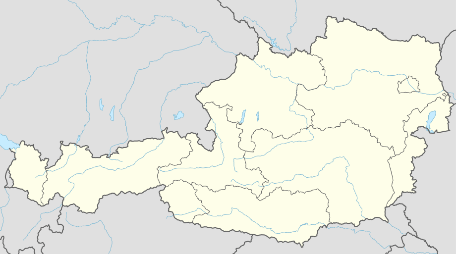 Sankt Marienkirchen am Hausruck Location within Austria | |
| Coordinates: 48°10′55″N 13°34′50″E | |
| Country | Austria |
| State | Upper Austria |
| District | Ried im Innkreis |
| Government | |
| • Mayor | Roland Bergthal (ÖVP) |
| Area | |
| • Total | 10.94 km2 (4.22 sq mi) |
| Elevation | 523 m (1,716 ft) |
| Population (2018-01-01)[2] | |
| • Total | 888 |
| • Density | 81/km2 (210/sq mi) |
| Time zone | UTC+1 (CET) |
| • Summer (DST) | UTC+2 (CEST) |
| Postal code | 4926 |
| Area code | 07753 |
| Vehicle registration | RI |
Geography
Sankt Marienkirchen lies in the Innviertel. About 18 percent of the municipality is forest, and 74 percent is farmland.
As of the 1st of January 2018 the municipality contained the following settlements:
- Baching 64
- Grausgrub 58
- Hatting 99
- Hof 63
- Jetzing 36
- Manaberg 12
- Obereselbach 38
- Pilgersham 79
- Sankt Marienkirchen am Hausruck 292
- Stocket 52
- Unering 46
- Untereselbach 18
- Kern 17
- Lehen 12
- Kleinbach 2.[3]
References
- "Dauersiedlungsraum der Gemeinden Politischen Bezirke und Bundesländer - Gebietsstand 1.1.2018". Statistics Austria. Retrieved 10 March 2019.
- "Einwohnerzahl 1.1.2018 nach Gemeinden mit Status, Gebietsstand 1.1.2018". Statistics Austria. Retrieved 9 March 2019.
- Bevölkerung am 1.1.2018 nach Ortschaften (Gebietsstand 1.1.2018)
| Wikimedia Commons has media related to Sankt Marienkirchen am Hausruck. |
| Authority control |
|
|---|
This article is issued from Wikipedia. The text is licensed under Creative Commons - Attribution - Sharealike. Additional terms may apply for the media files.