Southwest Maluku Regency
Southwest Maluku Regency (Indonesian: Kabupaten Maluku Barat Daya) is a regency of Maluku Province, Indonesia. It comprises a number of islands and island groups in the south of the province, including (running from west to east) Lirang Island, Wetar Island (with over half of the total land area of the Regency), Kisar Island, Romang Island, the Leti Islands, the Damar Islands, Mdona Hyera (formerly called the Sermata Islands) and the Babar Islands. The administrative centre lies at Tiakur on Moa Island (in the Leti Islands), but the largest town is Wonreli (on Kisar Island).
Southwest Maluku Regency Kabupaten Maluku Barat Daya | |
|---|---|
 Seal | |
 Location within Maluku | |
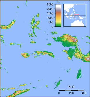 Southwest Maluku Regency Location in Maluku and Indonesia 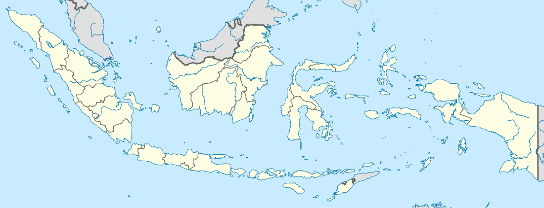 Southwest Maluku Regency Southwest Maluku Regency (Indonesia) | |
| Coordinates: 8°13′S 128°11′E | |
| Country | Indonesia |
| Province | Maluku |
| Capital | Tiakur |
| Government | |
| • Regent | Benyamin Thomas Noach |
| Area | |
| • Total | 4,581.06 km2 (1,768.76 sq mi) |
| Population (2010 Census) | |
| • Total | 70,714 |
| • Density | 15/km2 (40/sq mi) |
| Time zone | UTC+9 (IEST) |
| Area code | (+62) 918 |
| Website | malukubaratdayakab |
Administration
As at 2010 the Southwest Maluku Regency was administratively composed of eight districts (kecamatan). But by 2015 the number of districts had increased to seventeen by the splitting of existing districts; Pulau Pulau Wetar (the Wetar Islands) has been divided into four districts - Wetar, Wetar Barat (West Wetar), Wetar Timur (East Wetar) and Wetar Utara (North Wetar); the other six newly-created districts are Dawelor Dawera and Pulau Masela (Masela Island) formed from parts of Babar Timur District, Kepulauan Romang (Romang Islands) and Kisar Utara (North Kisar) formed from parts of Pulau Pulau Terselatan District, Pulau Lakor (Lakor Island) formed from part of Moa Lakor District, and Pulau Wetang (Wetang Island) formed from part of Pulau Pulau Babar District. The areas (in km2)[1] and 2018 officially estimated populations[2] are listed below.
| Name | comprising | Area (in km2) | Population Estimate 2018 | No. of Villages | Post Code |
|---|---|---|---|---|---|
| Wetar | part of Wetar | 1,725.24 | 2,091 | 6 | 97446 |
| Wetar Barat | western part of Wetar, Lirang, other islands west of Wetar | 511.09 | 1,881 | 5 | 97447 |
| Wetar Timur | eastern part of Wetar | 713.51 | 1,567 | 6 | 97448 |
| Wetar Utara | northern part of Wetar, Reong | 990.16 | 1,697 | 6 | 97449 |
| Pulau Pulau Terselatan | part of Kisar | 50.53 | 9,641 | 6 | 97445 |
| Kepulauan Romang | Romang Islands | 280.94 | 3,508 | 3 | 97440 |
| Kisar Utara | northern part of Kisar Island | 22.53 | 2,850 | 3 | 97441 |
| Moa Lakor | Moa Island | 959.68 | 13,536 | 8 | 97442 |
| Pulau Lakor | Lakor Island | 303.32 | 2,211 | 5 | 97443 |
| Pulau Letti | Leti Island | 243.30 | 7,413 | 7 | 97444 |
| Mdona Hiera | Sermata Islands | 232.32 | 4,569 | 11 | 97652 |
| Pulau Pulau Babar | Babar (western half), Dai | 803.95 | 5,945 | 9 | 97451 |
| Dawelor Dawera | Dawelor Island, Dawera Island | 209.15 | 1,118 | 6 | 97651 |
| Pulau Wetang | Wetang Island | 422.05 | 1,960 | 8 | 97652 |
| Pulau Masela | Masela Island | 279.61 | 2,186 | 11 | 97653 |
| Babar Timur | Babar (eastern half) | 509.24 | 5,241 | 11 | 97654 |
| Damer | Damer, Nus Leur, Terbang Utara, Terbang Selatan | 392.29 | 5,362 | 7 | 97128 -97652 |
References
- Biro Pusat Statistik, Jakarta, 2015.
- Kabupaten Maluku Barat Daya Dalam Angka 2019, Badan Pusat Statistik Kabupaten Maluku Barat Daya, ISSN 2598-6708, downloaded via https://malukubaratdayakab.bps.go.id/publication/2019/08/16/84f542d8c0be023a85152c6f/kabupaten-maluku-barat-daya-dalam-angka-2019.html
External links
| Wikimedia Commons has media related to Southwest Maluku Regency. |