South Buru Regency
South Buru Regency is a regency of Maluku, Indonesia. It is located on the island of Buru, of which it comprises the southern half. The Regency (which includes the smaller island of Ambalau to the southeast of Buru Island) covers a land area of 3,780.56 km2, and it had a population of 53,671 at the 2010 Census;[1] at the 2015 Intermediate Census this had risen to 59,212.[2] The principal town lies at Namrole.
South Buru Regency Kabupaten Buru Selatan | |
|---|---|
 Seal | |
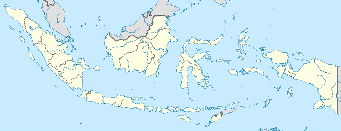
 Location within Maluku | |
| Coordinates: 3°51′S 126°42′E | |
| Country | Indonesia |
| Province | Maluku |
| Capital | Namrole |
| Government | |
| • Regent | Tagop Sudarsono Soulisa |
| • Vice Regent | Buce Ayub Seleky |
| Area | |
| • Total | 3,780.56 km2 (1,459.68 sq mi) |
| Population (2015) | |
| • Total | 59,212 |
| • Density | 16/km2 (41/sq mi) |
| Time zone | UTC+9 (IEST) |
| Area code | (+62) 913 |
| Website | burselkab |
Administration
The regency is divided into five districts (kecamatan), tabulated below with their areas and their 2010 Census populations.
| Name | Area in km2 | Population Census 2010 |
|---|---|---|
| Kepala Madan | 812.4 | 9,411 |
| Leksula | 1,574.2 | 14,900 |
| Namrole | 983.5 | 10,809 |
| Waisama | 699.8 | 11,505 |
| Ambalau | 201.7 | 6,846 |
References
- Biro Pusat Statistik, Jakarta, 2011.
- Badan Pusat Statistik, Jakarta, 2018.
External links
| Wikimedia Commons has media related to South Buru Regency. |
This article is issued from Wikipedia. The text is licensed under Creative Commons - Attribution - Sharealike. Additional terms may apply for the media files.