Schoolcraft County Airport
Schoolcraft County Airport, (IATA: ISQ, ICAO: KISQ, FAA LID: ISQ) is a county-owned public-use airport located 3 miles (5 km) northeast of the central business district of Manistique, Michigan, a city in Schoolcraft County, Michigan, United States.[1] It is included in the Federal Aviation Administration (FAA) National Plan of Integrated Airport Systems for 2017–2021, in which it is categorized as a basic general aviation facility.[4]
Schoolcraft County Airport | |||||||||||||||
|---|---|---|---|---|---|---|---|---|---|---|---|---|---|---|---|
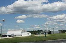 Sign and Hangars | |||||||||||||||
| Summary | |||||||||||||||
| Airport type | Public | ||||||||||||||
| Owner | Schoolcraft County | ||||||||||||||
| Serves | Manistique, Michigan | ||||||||||||||
| Elevation AMSL | 684 ft / 208 m | ||||||||||||||
| Coordinates | 45°58′28″N 086°10′18″W | ||||||||||||||
| Map | |||||||||||||||
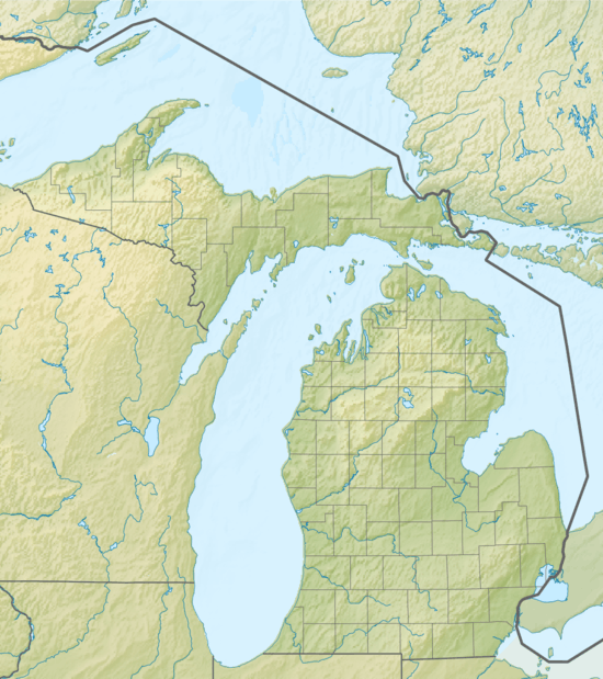 ISQ Location of airport in Michigan  ISQ ISQ (the United States) | |||||||||||||||
| Runways | |||||||||||||||
| |||||||||||||||
| Statistics | |||||||||||||||
| |||||||||||||||
Facilities and aircraft
Schoolcraft County Airport covers an area of 335 acres (135 ha) at an elevation of 684 feet (208 m) above mean sea level. It has two runways: 10/28 is 5,001 by 100 feet (1,524 m × 30 m) with an asphalt surface with approved GPS approaches; and 1/19 is 2,501 by 50 feet (762 m × 15 m) with an asphalt surface.[1]
For the 12-month period ending December 31, 2015, the airport had no recorded data regarding aircraft operations. In March 2017, there were 4 aircraft based at this airport, all single-engine.[1]
References
- FAA Airport Master Record for ISQ (Form 5010 PDF). Federal Aviation Administration. effective Mar 2, 2017.
- "Airport information from Schoolcraft County" (PDF). Retrieved October 1, 2016.
- "List of NPIAS Airports" (PDF). FAA.gov. Federal Aviation Administration. October 21, 2016. Retrieved November 23, 2016.
External links
- "Schoolcraft County Airport" (PDF). from the Michigan DOT Airport Directory
- FAA Terminal Procedures for ISQ, effective August 13, 2020
- Resources for this airport:
- FAA airport information for ISQ
- AirNav airport information for ISQ
- FlightAware airport information and live flight tracker
- SkyVector aeronautical chart for ISQ