Oakland/Troy Airport
Oakland/Troy Airport (ICAO: KVLL, FAA LID: VLL) is a county-owned public-use airport located two miles (3.2 km) east of the central business district of Troy, a city in Oakland County, Michigan, United States.[1] It is included in the Federal Aviation Administration (FAA) National Plan of Integrated Airport Systems for 2017–2021, in which it is categorized as a regional reliever airport facility.[2]
Oakland/Troy Airport | |||||||||||
|---|---|---|---|---|---|---|---|---|---|---|---|
| Summary | |||||||||||
| Airport type | Public | ||||||||||
| Owner | Oakland County | ||||||||||
| Serves | Troy, Michigan | ||||||||||
| Elevation AMSL | 729 ft / 222 m | ||||||||||
| Map | |||||||||||
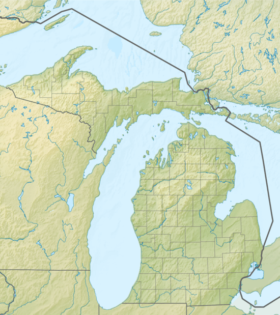 VLL Location of airport in Michigan  VLL VLL (the United States) | |||||||||||
| Runways | |||||||||||
| |||||||||||
| Statistics (2006) | |||||||||||
| |||||||||||
The Oakland/Troy Airport is considered the county's 'executive' airport. Business travelers and tourists using private, corporate and charter aircraft benefit from the airport's convenient proximity to business, recreation and entertainment facilities.[3] It is located between Maple Road and 14 Mile Road and Coolidge Highway and Crooks Road.
Although most U.S. airports use the same three-letter location identifier for the FAA and IATA, Oakland/Troy Airport is assigned VLL by the FAA but has no designation from the IATA[4] (which assigned VLL to Valladolid, Spain[5]). Oakland/Troy was formerly designated 7D2 but changed March 17, 2005 after an automated weather station was installed at the field.
Facilities and aircraft
Oakland/Troy Airport covers an area of 119 acres (48 ha) which contains one runway designated 9/27 with a 3,550 ft × 60 ft (1,082 m × 18 m) asphalt pavement. For the 12-month period ending December 31, 2006, the airport had 32,466 general aviation aircraft operations, an average of 88 per day.[1]
Charter passenger, air freight, and aircraft maintenance, as well as AvGas and Jet-A fuel, are available on the field.
Other Airport Information: There are currently 108 aircraft based at Oakland/Troy Airport.
Single Engined Aircraft: 95
Multi Engined Aircraft: 10
Helicopters: 3
Jets: 0
(On occasion, a small jet may visit the airport)
References
- FAA Airport Master Record for VLL (Form 5010 PDF), effective December 20, 2007
- "List of NPIAS Airports" (PDF). FAA.gov. Federal Aviation Administration. 21 October 2016. Retrieved 25 November 2016.
- Oakland/Troy Airport Archived 2016-11-14 at the Wayback Machine at Oakland County web site
- Great Circle Mapper: KVLL - Troy, Michigan (Oakland/Troy Airport)
- Great Circle Mapper: VLL / LEVD - Valladolid, Spain
External links
- Resources for this airport:
- FAA airport information for VLL
- AirNav airport information for KVLL
- FlightAware airport information and live flight tracker
- NOAA/NWS weather observations: current, past three days
- SkyVector aeronautical chart, Terminal Procedures