São Bento (Angra do Heroísmo)
São Bento is a parish in the municipality of Angra do Heroísmo on the island of Terceira in the Azores. The population in 2011 was 2,000,[1] in an area of 10.34 km².[2] The parish lies at an elevation of 65 metres above sea level. It contains the localities Caboucos, Canada da Fontinha, Canada do Vale, Carreirinha, Escopins, São Luís and Vale de Linhares.
São Bento | |
|---|---|
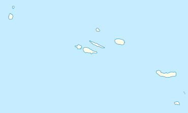 São Bento Location in the Azores 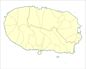 São Bento São Bento (Terceira) | |
| Coordinates: 38°39′35″N 27°12′23″W | |
| Country | |
| Auton. region | Azores |
| Island | Terceira |
| Municipality | Angra do Heroísmo |
| Established | Settlement: fl. 1500 Parish: c. 1572 |
| Area | |
| • Total | 10.34 km2 (3.99 sq mi) |
| Elevation | 65 m (213 ft) |
| Population (2011) | |
| • Total | 2,000 |
| • Density | 190/km2 (500/sq mi) |
| Time zone | UTC−01:00 (AZOT) |
| • Summer (DST) | UTC±00:00 (AZOST) |
| Postal code | 9700-213 |
| Area code | 292 |
| Patron | São Bento |
| Website | www |
References
This article is issued from Wikipedia. The text is licensed under Creative Commons - Attribution - Sharealike. Additional terms may apply for the media files.