Rohrbach-lès-Bitche
Rohrbach-lès-Bitche (German: Rohrbach bei Bitsch, Lorraine Franconian: Roerbach) is a commune in the Moselle department of the Grand Est administrative region in north-eastern France.
Rohrbach-lès-Bitche | |
|---|---|
 The Ouvrage Rohrbach | |
 Coat of arms | |
Location of Rohrbach-lès-Bitche 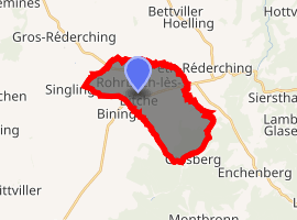
| |
 Rohrbach-lès-Bitche 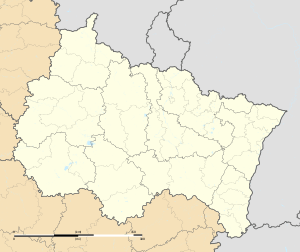 Rohrbach-lès-Bitche | |
| Coordinates: 49°02′46″N 7°15′56″E | |
| Country | France |
| Region | Grand Est |
| Department | Moselle |
| Arrondissement | Sarreguemines |
| Canton | Bitche |
| Intercommunality | CC du Pays de Bitche |
| Government | |
| • Mayor (2008–2014) | Louis Niederberger |
| Area 1 | 13.28 km2 (5.13 sq mi) |
| Population (2017-01-01)[1] | 2,283 |
| • Density | 170/km2 (450/sq mi) |
| Time zone | UTC+01:00 (CET) |
| • Summer (DST) | UTC+02:00 (CEST) |
| INSEE/Postal code | 57589 /57410 |
| Elevation | 252–384 m (827–1,260 ft) (avg. 306 m or 1,004 ft) |
| 1 French Land Register data, which excludes lakes, ponds, glaciers > 1 km2 (0.386 sq mi or 247 acres) and river estuaries. | |
The village belongs to the Pays de Bitche.
Geography
Rohrbach-lès-Bitche is crossed from west to east (Main Street) by the road connecting Sarreguemines to Bitche. It branches off towards Sarre-Union and the Alsace bossue in the centre of the village.
Located in the open country, at an elevation of around 260 metres, the village is dominated to the west by the 360-metre-tall Guckenberg, the last hill of the Lorraine plateau. It is one of the earliest villages of the Pays de Bitche. The Vosges pink sandstone appears on the outskirts of the commune, but is mostly covered by forest.
See also
| Wikimedia Commons has media related to Rohrbach-lès-Bitche. |
| Authority control |
|
|---|
- "Populations légales 2017". INSEE. Retrieved 6 January 2020.