Rawal, Uttar Pradesh
Rawal is a village in Mathura district of Mahavan Tehsil, Uttar Pradesh, India and there are about 409 families living here and it is a small village which is situated in the foothills of river Yamuna.
Rawal | |
|---|---|
Village | |
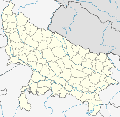 Rawal Location of Rawal on the map of Uttar Pradesh  Rawal Rawal (India) | |
| Coordinates: 27°45′25″N 77°41′40″E | |
| Country | Mahavan |
| State | Uttar Pradesh |
| District | Mathura |
| Lok Sabha | Baldev (Assembly constituency) |
| Vidhan Sabha | Mathura |
| Government | |
| • Type | Local government in India |
| • Body | Gram Panchayat |
| • Pradhan (Sarpanch) | Kamlesh |
| Population (2011) | |
| • Total | 2,753 |
| Languages | |
| • Official | Hindi |
| • Local | Braj Bhasha |
| Time zone | UTC+5:30 (IST) |
| PIN | 281305 |
| Vehicle registration | UP85 XXXX |
| Nearest city | Vrindavan, Raya, Mathura |
Member of parliament Hema Malini has adopted the village under the Sansad Adarsh Gram Yojana announced by Prime Minister of India.[1][2]
Demography
The residents or natives of Rawal and surroundings are called Brijwasi. The village had a population of 2753 at the time of the 2011 census of India.
| Particulars | Total | Male | Female | Comments |
|---|---|---|---|---|
| Total No. of Houses | 409 | — | — | (census 2011) |
| Population | 2753 | 1,396 | 1,357 | |
| Child (0–6) | 497 | 245 | 252 | |
| Schedule Caste | 557 | 289 | 251 | |
| Literacy | 63.92% | 77.58% | 49.68% | |
| Total Workers | 857 | 629 | 228 | |
| Main Worker | 596 | 0 | 0 | |
| Marginal Worker | 261 | 83 | 178 |
Geography
Rawal village on the east bank of Yamuna river, which is 1 kilometre (0.62 mi) distant.
| State code: | 09 |
| District code: | 145 |
| Tahsil code: | |
| Village code: | 124109 |
Education
Schools
- Prathmik Vidyalaya Rawal
Colleges
Transportation
Rail
Mathura Railway Junction
Road
Rawal Village is well connected to Mathura - Baldev Road.
Nearby villages
Villages & town
References
- "सांसद हेमा मालिनी पहुंची मथुरा, गोद लिए रावल गांव में किया विकास कार्यों का निरीक्षण". Retrieved 13 October 2019.
- "Mathura MP Hema Malini admits shortcomings". India Today (in Hindi). Retrieved 13 October 2019.
Places adjacent to Rawal, Uttar Pradesh | ||||||||||
|---|---|---|---|---|---|---|---|---|---|---|
| ||||||||||
This article is issued from Wikipedia. The text is licensed under Creative Commons - Attribution - Sharealike. Additional terms may apply for the media files.