Pittwater Road
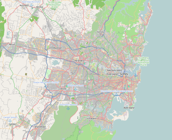
Pittwater Road is an urban Main Road in the north-eastern suburbs of Sydney, Australia. Pittwater Road runs from Manly to Church Point, on the southern shore of Pittwater. It crosses the suburbs of Manly, North Manly, Brookvale, Dee Why, Collaroy, Narrabeen, North Narrabeen, Warriewood, Mona Vale, Bayview and Church Point. There are about 2200 houses along the road.
Pittwater Road | |
|---|---|
 South end North end | |
| Coordinates |
|
| General information | |
| Type | Road |
| Length | 30 km (19 mi) |
| Opened | 1930 |
| Major junctions | |
| South end | North Manly |
| North end | Church Point |
| Location(s) | |
| Major suburbs |
|
Pittwater Road is the main road along the coast of the Northern Beaches suburbs, from Manly to Mona Vale. Between its intersection with Condamine Street, at Brookvale, and its intersection with Mona Vale Road, at Mona Vale, Pittwater Road forms part of the A8 route. Most of Pittwater Road is a concrete slab road laid in the 1930s, and mostly has three lanes in each direction.
North of Mona Vale, Pittwater Road heads north-west, as a narrow, winding, two-lane road, to the shore of Pittwater at Bayview and Church Point. The main road to the remaining northern beach suburbs, up to Palm Beach, is Barrenjoey Road, which appears to be a continuation of Pittwater Road at Mona Vale. Being the largest single arterial road in the area, it is often referred to simply as "the main road".
In former times, much of present-day Mona Vale Road through St. Ives, Terrey Hills and Ingleside, was known by varying names, including "Pittwater Road".
References
See also
![]()