Nolambur
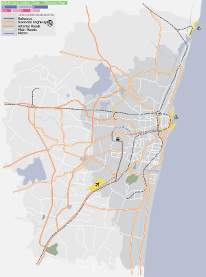
Nolambur is the neighbourhood in the western part of Chennai It is near to the Poonamallee High Road near Maduravoyal and Mogappair West.
Nolambur | |
|---|---|
Neighbourhood | |
 Nolambur Nolambur(Chennai) Show map of Chennai Nolambur Nolambur (Tamil Nadu) Show map of Tamil Nadu Nolambur Nolambur (India) Show map of India | |
| Coordinates: 13.0805°N 80.1801°E / 13.0805; 80.1801 | |
| Country | India |
| State | Tamil Nadu |
| District | ,Chennai |
| Metro | Chennai |
| Languages | |
| • Official | Tamil |
| Time zone | UTC+5:30 (IST) |
| PIN | 600 095 |
| Vehicle registration | TN 12)( RTO, Poonamallee) |
Road access from the north is from Mogappair and Ambattur Industrial Estate. Nolambur is located adjacent to Maduravoyal and Nerkundram, which are situated at its south boundaries. Bharathi Salai and its continuation Nolumbur Phase II road are 70 ft wide. They form the primary route of travelling for the residents nearby. The Inner ring road runs in the western fringes of Nolambur making it a place for rapid connectivity from all part of Chennai City. A few buses also ply through this area[1]
Important Residential units include Jains Sunderbans Apartments, VGN Minerva Apartments, Akshya Pacific City, City Light Meadows and DABC's various apartments,Jains Nakshatra.
Schools
- DAV Group of Schools
- Velammal Group of Schools
- Dawn School
- Green Valley Matriculation & Higher Secondary School
- Schram Academy
- Spartan School
- Sri Chaitanya
See also
References
- Ramkumar, Pratiksha (21 August 2012). "Nolambur residents' wait for road continues". The Times of India. Retrieved 30 May 2018.