Needilup, Western Australia
Needilup is a town in the Great Southern region of Western Australia, situated between Ongerup and Jerramungup along the Gnowangerup-Jerramungup Road.
| Needilup Western Australia | |
|---|---|
 Needilup | |
| Coordinates | 33.9527°S 118.7716°E |
| Established | 1954 |
| Postcode(s) | 6336 |
| Elevation | 292 m (958 ft) |
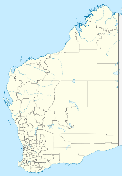
| Location |
|
| LGA(s) | Shire of Jerramungup |
| State electorate(s) | Roe |
| Federal Division(s) | O'Connor |
The establishment of a town arose after a local member petitioned the lands department for land to be made available for a townsite in 1951 after settlement in the area lead to a demand for land. Lots were surveyed soon afterward and the townsite was declared in 1954.[1]
The name is Aboriginal in origin and the meaning is unknown. The name is taken from the nearby Needilup River that was first surveyed in 1901 and spelt in a variety of ways.
References
- Western Australian Land Information Authority. "History of country town names – N". Retrieved 25 April 2011.
This article is issued from Wikipedia. The text is licensed under Creative Commons - Attribution - Sharealike. Additional terms may apply for the media files.