Jingalup, Western Australia
Jingalup is a town in the Great Southern region of Western Australia located between the towns of Kojonup and Cranbrook. The town is located on Murrin Brook, which is a tributary of the Tone River.
| Jingalup Western Australia | |
|---|---|
 Jingalup | |
| Coordinates | 33°58′S 117°02′E |
| Population | 208 (2006 census)[1] |
| Established | 1924 |
| Postcode(s) | 6395 |
| Elevation | 296 m (971 ft) |
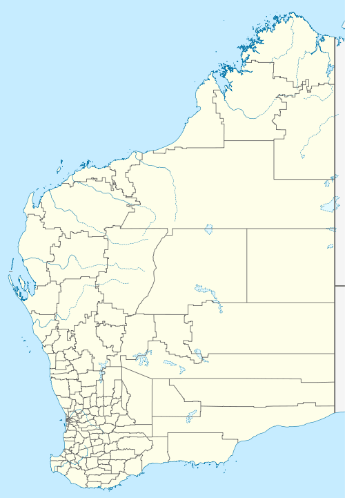
| Location |
|
| LGA(s) | Shire of Kojonup |
| State electorate(s) | Roe |
| Federal Division(s) | O'Connor |
The area was explored by Francis Thomas Gregory in 1846 and who first recorded the name Jingalup. The area was eventually opened to agriculture. By 1918 the local farmers requested that a townsite be declared, and proposed the name be Mybrup. A town hall which was also used as a school and a recreation ground had been built by 1922, and the community knew the area as Jingalup. The town was gazetted in 1924.[2]
The name is Aboriginal in origin and is a contraction of the name of a nearby well, Kodjingalup Well.
References
- Australian Bureau of Statistics (25 October 2007). "Jingalup(State Suburb)". 2006 Census QuickStats. Retrieved 23 April 2011.
- Western Australian Land Information Authority. "History of country town names – J". Retrieved 23 April 2011.
This article is issued from Wikipedia. The text is licensed under Creative Commons - Attribution - Sharealike. Additional terms may apply for the media files.