Millers Tavern Rural Historic District
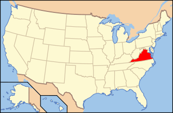
The Millers Tavern Rural Historic District encompasses a large rural landscape in western Essex County, Virginia, extending partly into eastern King and Queen County. In an area of 3,900 acres (1,600 ha) is a landscape that has seen only modest alterations since the 17th century, with predominantly agricultural uses persisting. Most of the farm properties in the district are modest, with vernacular building stock dating from the late 18th century to the mid-20th century. Sprinkled throughout the district are a few churches and grist mills, as well as the eponymous Miller's Tavern. The district is roughly bounded by U.S. Route 360 and Howerton, Dunbrooke, Latanes Mill, and Midway Rds.[2]
Millers Tavern Rural Historic District | |
 St. Paul's Episcopal Church on the Essex County side | |
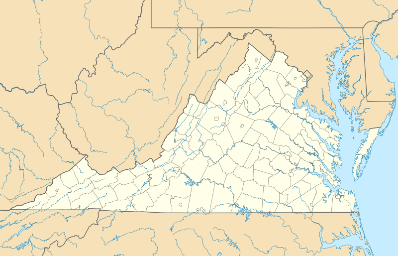  | |
| Location | Roughly bounded by U.S. Route 360 and Howerton, Dunbrooke, Latanes Mill, and Midway Rds., Miller's Tavern, Essex County and King and Queen County, Virginia |
|---|---|
| Coordinates | 37°49′44″N 76°58′4″W |
| Area | 3,900 acres (1,600 ha) |
| NRHP reference No. | 100001040[1] |
| Added to NRHP | June 5, 2017 |
The district was listed on the National Register of Historic Places in 2017.[1]
See also
References
- "National Register Information System". National Register of Historic Places. National Park Service. July 9, 2010.
- "NRHP nomination for Millers Tavern Rural Historic District" (PDF). Virginia DHR. Retrieved 2017-10-10.