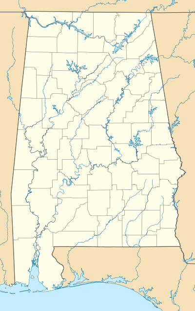
Lubbub, Alabama
Lubbub is an unincorporated community in Pickens County, Alabama, United States. Lubbub is located along Alabama State Route 159, 8.8 miles (14.2 km) north of Gordo.
Lubbub, Alabama | |
|---|---|
 Lubbub, Alabama  Lubbub, Alabama | |
| Coordinates: 33°25′50″N 87°52′26″W | |
| Country | United States |
| State | Alabama |
| County | Pickens |
| Elevation | 453 ft (138 m) |
| Time zone | UTC-6 (Central (CST)) |
| • Summer (DST) | UTC-5 (CDT) |
| Area code(s) | 205, 659 |
| GNIS feature ID | 135564[1] |
History
Lubbub is named after the nearby Lubbub Creek.[2] The name Lubbub comes from the Choctaw word lahba, which means "warm".[3] A post office operated under the name Lubbub from 1834 to 1907.[4] An EF4 tornado passed near Lubbub during the 2011 Super Outbreak.
References
- "Lubbub". Geographic Names Information System. United States Geological Survey.
- Foscue, Virginia (1989). Place Names in Alabama. Tuscaloosa: The University of Alabama Press. p. 87. ISBN 0-8173-0410-X.
- Read, William A. (1984). Indian Place Names in Alabama. Tuscaloosa: The University of Alabama Press. p. 42. ISBN 0-8173-0231-X.
- "Pickens County". Jim Forte Postal History. Retrieved 27 November 2015.
Municipalities and communities of Pickens County, Alabama, United States | ||
|---|---|---|
| Cities | 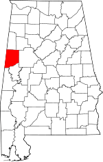 Map of Alabama highlighting Pickens County | |
| Towns | ||
| CDP | ||
| Unincorporated communities | ||
This article is issued from Wikipedia. The text is licensed under Creative Commons - Attribution - Sharealike. Additional terms may apply for the media files.