List of airports in the Faroe Islands
This is a list of airports and heliports in the Faroe Islands, sorted by location.
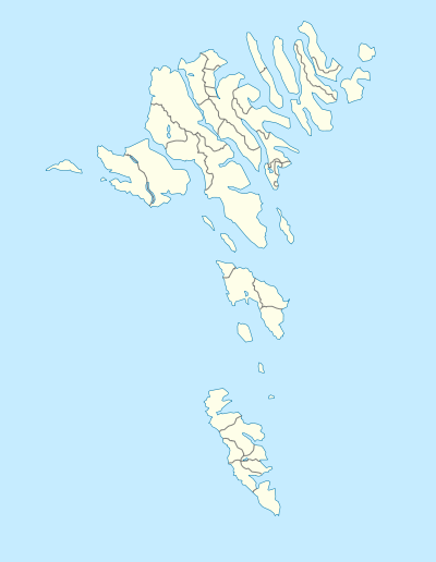
The Faroe Islands are a group of islands in Northern Europe, between the Norwegian Sea and the north Atlantic Ocean, about halfway from Iceland to Norway. They have been an autonomous region of Denmark since 1948. There is one airport and a number of public heliports. The domestic helicopter services are operated by Atlantic Airways.
| Location | ICAO | IATA | Airport name | Coordinates | Ref |
|---|---|---|---|---|---|
| Froðba | EKFA | Froðba Heliport | 61°32′37″N 006°46′28″W | [1] | |
| Hattarvík | EKHI | Hattarvík Heliport | 62°19′49″N 006°16′36″W | [2] | |
| Kirkja | EKKU | Kirkja Heliport | 62°19′02″N 006°18′48″W | [3] | |
| Klaksvík | EKKV | Klaksvík Heliport | 62°13′04″N 006°34′35″W | [4] | |
| Mykines | EKMS | Mykines Heliport | 62°06′08″N 007°38′45″W | [5] | |
| Skúvoy | EKSY | Skúvoy Heliport | 61°46′10″N 006°48′13″W | [6] | |
| Sørvágur | EKVG | FAE | Vágar Airport | 62°03′49″N 007°16′38″W | [7] |
| Stóra Dímun | EKSR | Stóra Dímun Heliport | 61°41′07″N 006°45′31″W | [8] | |
| Svínoy | EKSO | Svínoy Heliport | 62°16′36″N 006°20′29″W | [9] | |
| Tórshavn | EKTB | Boðanes Heliport | 62°01′18″N 006°45′27″W | [10] |
Koltur also has a helipad that is used for scheduled passenger flights ran by Atlantic Airways. Skopun and Tórshavn (a second one, near the hospital) have helipads used for ambulance flights. Abandoned heliports are found in Trøllanes, Gásadalur and Múli, all of which were dismantled soon after the respective roads to these villages opened. Discussions about a helipad in Nólsoy for the purpose of medical evacuations aired in 2014 and continue to play. [11]
Tórshavn's municipal plan includes a proposal for a new airport at Glyvursnes, due south of the suburb Argir, but the weather and political situation make this unlikely in the foreseeable future. The runway and terminal have recently been extended respectively upgraded and forms an important part of the economy of the island of Vágar.[12]
See also
- List of airports in Denmark
- Transport in the Faroe Islands
- List of airports by ICAO code: E#EK – Denmark and the Faroe Islands
- Wikipedia: Airline destination lists: Europe#Faroe Islands (Denmark)
- List of the busiest airports in the Nordic countries
References
- Faroe Islands AIP for EKFA – Froðba Heliport Archived 2016-10-26 at the Wayback Machine from Naviair
- http://ifisa.info/faroe-islands/
- Faroe Islands AIP for EKKU – Kirkja Heliport Archived 2016-10-26 at the Wayback Machine from Naviair
- Faroe Islands AIP for EKKV – Klaksvík Heliport Archived 2016-10-26 at the Wayback Machine from Naviair
- Faroe Islands AIP for EKMS – Mykines Heliport Archived 2016-10-26 at the Wayback Machine from Naviair
- Faroe Islands AIP for EKSY – Skúvoy Heliport Archived 2016-10-26 at the Wayback Machine from Naviair
- Faroe Islands AIP for EKVG – Vágar Airport Archived 2016-08-06 at the Wayback Machine from Naviair
- Faroe Islands AIP for EKSR – Stóra Dímun Heliport Archived 2016-10-26 at the Wayback Machine from Naviair
- Faroe Islands AIP for EKSO – Svínoy Heliport Archived 2016-10-26 at the Wayback Machine from Naviair
- Faroe Islands AIP for EKTB – Bodanes Heliport Archived 2016-10-26 at the Wayback Machine from Naviair
- http://kvf.fo/netvarp/uv/2014/12/11/kanna-umsturnar-fyri-tyrlupallii-nlsoy
- http://www.torshavn.fo/get.file?ID=2191